Halton
Halton/26/00081/OUTEIA
Land At Widnes Waterfront Bounded By Earle Road, Tan House Lane, Moss Bank Road, Gorsey Road, Johnson's Lane; North Of St Helens Canal And Warrington & Stockport Railway Line At Moss Bank Widnes WA8 0GY
- Reference
- Halton/26/00081/OUTEIA
- Authority
- Halton
- Application type
- OUTEIA
- Address
- Land At Widnes Waterfront Bounded By Earle Road, Tan House Lane, Moss Bank Road, Gorsey Road, Johnson's Lane; North Of St Helens Canal And Warrington & Stockport Railway Line At Moss Bank Widnes WA8 0GY
- Postcode
- WA8 0GY
- Status
- Registered
- Received
- 11 Mar 2026
- Started
- 11 Mar 2026
- Source council
- Halton
- Council source record
- View public record
- Public data licence
- Open Government Licence v3.0
- Record updated
- 18 Jul 2026
- SEO index generated
- 24 Jul 2026
Location
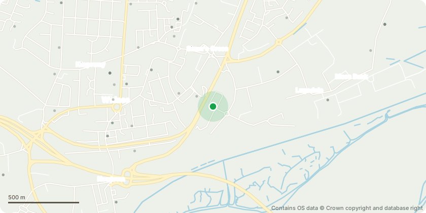
Approximate location - Contains OS data © Crown copyright and database right
Proposal
HYBRID PLANNING APPLICATION COMPRISING:FULL PLANNING application for construction, engineering and change of use (part retrospective) including; new and altered means of access at Earle Road and Moss Bank Road and related transport infrastructure; remodelling/regrading of land; related engineering and infrastructure works; drainage strategy; landscaping; means of enclosure; enabling works and ancillary development; and temporary change of use for open storage, storage of vehicles including commercial vehicles and self-storage (through shipping containers); andOUTLINE application (with all matters reserved except for Access) for a phased development comprising up to 169,800 sqm of total floorspace across commercial / industrial / warehousing / waste management facilities including:- Up to 162,850 sqm for B2/B8 uses (with ancillary offices)- Up to 75,320 sqm for a data centre (sui generis)- A battery energy storage system- Up to 28,610 sqm of E(g)(iii) floorspace (light industrial)- Up to 600 sqm retail / food & drink (E(a) / E(b))- Up to 500 sqm indoor sport/recreation (E(d))- Up to 500 sqm for a creche, nursery or day centre (E(f))Plus associated works including site remediation, internal roads, parking, servicing, cycle and pedestrian routes, landscaping, SuDS and other ancillary infrastructure at
Key dates
- Received 11 Mar 2026
- Started 11 Mar 2026
Planning history / related applications
No related planning applications have been identified in the current public OGL dataset.
Inside plotEdge
Go beyond the public record
This page is the public OGL record. plotEdge adds the private intelligence layer for this site - open it in the app to unlock:
- Ownership & title Registered owner and title from HM Land Registry.
- Viability & build potential Site scoring and development upside.
- Constraints Flood risk, green belt, conservation areas and designations.
- Approval signal Planning risk and approval-likelihood analysis.
- Comparable applications Decisions on similar nearby sites, side by side.
- Status alerts Get notified the moment this application changes.
Source: public planning application data from Halton, reused under the Open Government Licence v3.0. View the council source record. Council documents and drawings are not republished on plotEdge.