Guildford
Guildford/26/T/00063
The Chalet, Walking Bottom, Peaslake, Guildford, GU5 9RR
- Reference
- Guildford/26/T/00063
- Authority
- Guildford
- Address
- The Chalet, Walking Bottom, Peaslake, Guildford, GU5 9RR
- Postcode
- GU5 9RR
- Status
- Decided
- Decision
- Tree Application Approved
- Received
- 9 Mar 2026
- Validated
- 9 Mar 2026
- Started
- 9 Mar 2026
- Decided
- 16 Apr 2026
- Source council
- Guildford
- Council source record
- View public record
- Public data licence
- Open Government Licence v3.0
- Record updated
- 18 Jul 2026
- SEO index generated
- 24 Jul 2026
Location
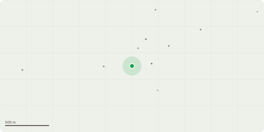
Approximate location
Proposal
T1 - Beech-Group - Reduce the house side of the beech trees by 2-3m, clear any overhang over the house and clear branches from phone line. The top corner and outer sides are to be blended into the existing crown to leave the trees looking as natural as possible on completion. The field side and overall height is not to be reduced within the spec of this work. T2 - Mixed Group - Hazel, Holly, Prunus, Beech - Reduce the height of trees that run along the boundary between the property and yellow cottage to approximately 1m below the phone line (approximately 15-20m long stretch of trees of 5-6m in height), to re instate informal hedge. Total height of trees once pruned to be approximately 4m in height. T3 - Beech Group (with dead prunus between trees) - Safely remove the dead/dying wild cherry that is situated within the line of beech trees. Crown reduce The two large beach Trees by 2 to 3 m all around to reduce encroachment over garage and neighbouring property and manage height. T4 - Safely remove the heavily leaning Hawthorne tree that leans over the path at the rear of the property and stack all waste in habitat pile by boundary line T5 - Remove significant deadwood (dead branches of over 50mm diameter and 1m long) from the ash tree that is situated on the roadside boundary overhangs the road (Peaslake Conservation Area)..
Key dates
- Received 9 Mar 2026
- Validated 9 Mar 2026
- Started 9 Mar 2026
- Decided 16 Apr 2026
Planning history / related applications
No related planning applications have been identified in the current public OGL dataset.
Inside plotEdge
Go beyond the public record
This page is the public OGL record. plotEdge adds the private intelligence layer for this site - open it in the app to unlock:
- Ownership & title Registered owner and title from HM Land Registry.
- Viability & build potential Site scoring and development upside.
- Constraints Flood risk, green belt, conservation areas and designations.
- Approval signal Planning risk and approval-likelihood analysis.
- Comparable applications Decisions on similar nearby sites, side by side.
- Status alerts Get notified the moment this application changes.
Source: public planning application data from Guildford, reused under the Open Government Licence v3.0. View the council source record. Council documents and drawings are not republished on plotEdge.