Guildford
Guildford/26/T/00044
Weir House, Millmead, Guildford, GU2 4BD
- Reference
- Guildford/26/T/00044
- Authority
- Guildford
- Address
- Weir House, Millmead, Guildford, GU2 4BD
- Postcode
- GU2 4BD
- Status
- Decided
- Decision
- Tree Application Approved
- Received
- 18 Feb 2026
- Validated
- 18 Feb 2026
- Started
- 18 Feb 2026
- Decided
- 16 Mar 2026
- Source council
- Guildford
- Council source record
- View public record
- Public data licence
- Open Government Licence v3.0
- Record updated
- 18 Jul 2026
- SEO index generated
- 24 Jul 2026
Location
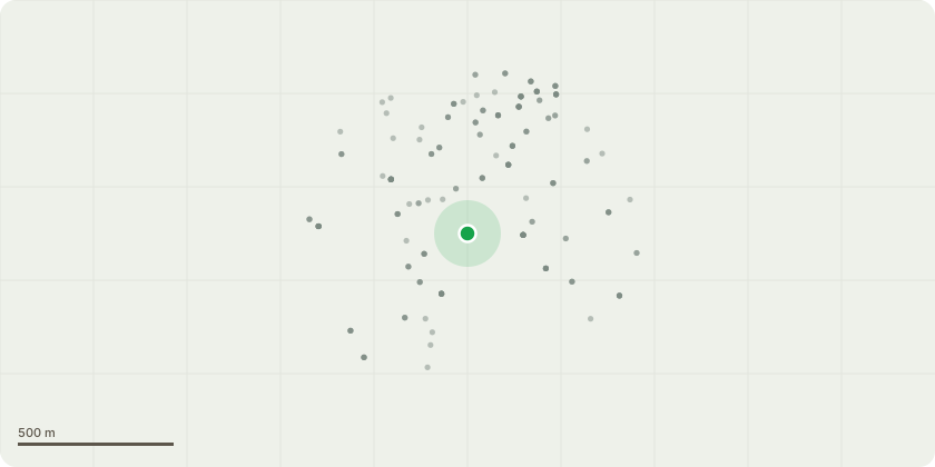
Approximate location
Proposal
Horse chestnut, fell to ground. This is a triple-stemmed tree with two of the stems previously removed and the remaining stem has a heavy bias of crown overhanging the adjacent bungalow "Rivermead". One of the main branches has lifting and split bark, as well as a potential rot pocket. This is further potentially stressed by a knuckle joint at the end of the branch with multiple branches leading off it, creating additional weight. There are various indications (unusual bark patterns, lifting and split bark, dark stains on the trunk) that the tree may be suffering from Pseudomonas syringae. If it was sited in an isolated area then it would be reasonable to leave it alone. However as it is overhanging the neighbouring property and is weighted to fall that way I believe the correct course of action is to remove it on safety grounds. The intention is to plant a horse chestnut or similar native tree to replace it.
Key dates
- Received 18 Feb 2026
- Validated 18 Feb 2026
- Started 18 Feb 2026
- Decided 16 Mar 2026
Planning history / related applications
No related planning applications have been identified in the current public OGL dataset.
Inside plotEdge
Go beyond the public record
This page is the public OGL record. plotEdge adds the private intelligence layer for this site - open it in the app to unlock:
- Ownership & title Registered owner and title from HM Land Registry.
- Viability & build potential Site scoring and development upside.
- Constraints Flood risk, green belt, conservation areas and designations.
- Approval signal Planning risk and approval-likelihood analysis.
- Comparable applications Decisions on similar nearby sites, side by side.
- Status alerts Get notified the moment this application changes.
Source: public planning application data from Guildford, reused under the Open Government Licence v3.0. View the council source record. Council documents and drawings are not republished on plotEdge.