Guildford
Guildford/26/P/00859
The Malthouse, Smugglers Way, The Sands, Farnham, GU10 1NB
- Reference
- Guildford/26/P/00859
- Authority
- Guildford
- Address
- The Malthouse, Smugglers Way, The Sands, Farnham, GU10 1NB
- Postcode
- GU10 1NB
- Status
- Registered
- Received
- 23 Jun 2026
- Started
- 23 Jun 2026
- Source council
- Guildford
- Council source record
- View public record
- Public data licence
- Open Government Licence v3.0
- Record updated
- 18 Jul 2026
- SEO index generated
- 24 Jul 2026
Location
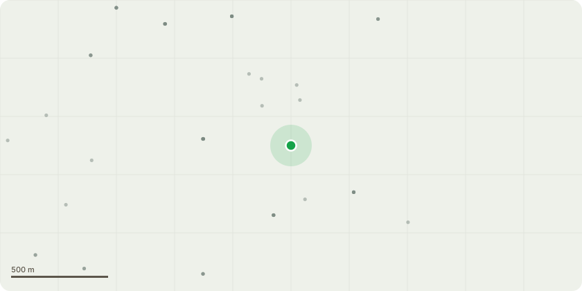
Approximate location
Proposal
Variation of Condition 2 (drawing numbers) of planning permission 23/P/01194 approved 28/09/2023 for the enclose existing carport, extend permeable driveway and erect a detached double carport, insert a front facing skylight to entrance hallway, erect single storey rear extensions plus external material modifications and alterations with associated works following demolition of conservatory for the following approved plans to be replaced with amended plans that include the alternations: 23/5981, received: 14 July 2023; 2301 08, received: 14 July 2023; 22 / 5916_ELEV, received: 14 July 2023; 2301 06, received: 14 July 2023; 2301 / 07, received: 14 July 2023; 22/5916_INT, received: 14 July 2023; 2301 05, received: 14 July 2023; 22/5916_INT, received: 14 July 2023 for the main bedroom plan to enlarge the rear extension of this room by 710mm to align with the as built kitchen extension to ensure that the bed can sit comfortably within the area of vaulted ceiling, rather than straddling vaulted, downstand and flat ceiling elements. Rear elevation to have a three pane bi-fold door, to mirror doors on kitchen/dining rear extension, rather than windows.Lower Ground PlanFront bi-folding door to existing door width opening, rather than reducing width and trying to piece in new fabric - now a three pane bi-fold, to mirror new bi-folds on rear .
Key dates
- Received 23 Jun 2026
- Started 23 Jun 2026
Planning history / related applications
No related planning applications have been identified in the current public OGL dataset.
Inside plotEdge
Go beyond the public record
This page is the public OGL record. plotEdge adds the private intelligence layer for this site - open it in the app to unlock:
- Ownership & title Registered owner and title from HM Land Registry.
- Viability & build potential Site scoring and development upside.
- Constraints Flood risk, green belt, conservation areas and designations.
- Approval signal Planning risk and approval-likelihood analysis.
- Comparable applications Decisions on similar nearby sites, side by side.
- Status alerts Get notified the moment this application changes.
Source: public planning application data from Guildford, reused under the Open Government Licence v3.0. View the council source record. Council documents and drawings are not republished on plotEdge.