Guildford
Guildford/26/P/00795
Bailes Farm, Bailes Lane, Normandy, Guildford, GU3 2BA
- Reference
- Guildford/26/P/00795
- Authority
- Guildford
- Address
- Bailes Farm, Bailes Lane, Normandy, Guildford, GU3 2BA
- Postcode
- GU3 2BA
- Status
- Registered
- Received
- 10 Jun 2026
- Started
- 10 Jun 2026
- Source council
- Guildford
- Council source record
- View public record
- Public data licence
- Open Government Licence v3.0
- Record updated
- 18 Jul 2026
- SEO index generated
- 24 Jul 2026
Location
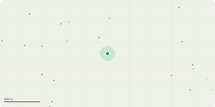
Approximate location
Proposal
Listed Building Consent for consolidation and recoating of existing KEIM mineral paint to masonry and brickwork infills in lieu of limewash; removal of black paint to the exposed timber frame and replacement with a translucent breathable oil-based paint in lieu of limewash; installation of a perimeter French drain around the base of the main house; rebedding of chimney parapet copings over creasing tiles on the east elevation; installation of concealed tile vents to the inner roof slopes; and replacement of existing eaves mesh with a finer insect mesh following wall head repairs. Internally: removal of all cementitious render and gypsum plaster from external walls and replacement with a breathable diathonite parge coat, wood fibre board insulation and lime plaster finish; extension of ground floor slab replacement works to include the NE ground floor room (with historic panelling and stair retained in situ); substitution of a conventional concrete slab with damp proof membrane for the previously approved breathable foamed glass aggregate slab; and loose-laying of 300mm mineral wool insulation in the loft space.
Key dates
- Received 10 Jun 2026
- Started 10 Jun 2026
Planning history / related applications
No related planning applications have been identified in the current public OGL dataset.
Inside plotEdge
Go beyond the public record
This page is the public OGL record. plotEdge adds the private intelligence layer for this site - open it in the app to unlock:
- Ownership & title Registered owner and title from HM Land Registry.
- Viability & build potential Site scoring and development upside.
- Constraints Flood risk, green belt, conservation areas and designations.
- Approval signal Planning risk and approval-likelihood analysis.
- Comparable applications Decisions on similar nearby sites, side by side.
- Status alerts Get notified the moment this application changes.
Source: public planning application data from Guildford, reused under the Open Government Licence v3.0. View the council source record. Council documents and drawings are not republished on plotEdge.