Guildford
Guildford/25/P/00630
Land rear of Chicane and Quintons, Ockham Road North, East Horsley, KT24 6PU
- Reference
- Guildford/25/P/00630
- Authority
- Guildford
- Address
- Land rear of Chicane and Quintons, Ockham Road North, East Horsley, KT24 6PU
- Postcode
- KT24 6PU
- Status
- Decided
- Decision
- Approve
- Received
- 28 Apr 2025
- Validated
- 28 Apr 2025
- Started
- 28 Apr 2025
- Decided
- 2 Jul 2026
- Source council
- Guildford
- Council source record
- View public record
- Public data licence
- Open Government Licence v3.0
- Record updated
- 18 Jul 2026
- SEO index generated
- 24 Jul 2026
Location
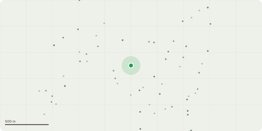
Approximate location
Proposal
Application under Section 73 of the Town and Country Planning Act 1990 to vary Conditions 18 and 20 (offsite s278 works) to amend both conditions from pre-occupation to 50% of occupations for completion of works; as well as the removal of the following requirements from Condition 18:a raised table to be installed at the junction where Ockham Road South meets A246 Guildford Road; andan improvement scheme at the junction where Ockham Road North meets Station Approachof outline planning application 19/P/01541 approved 03/12/2019 for the demolition of two dwellings and alteration to access to allow for outline consent with all matters reserved (except for means of access from Ockham Road North not to include internal roads) for up to 110 dwellings and up to 99sqm of office floor space (Use Class B1a), open space, sustainable urban drainage system and associated landscaping, infrastructure and earthwork's at Lollesworth Fields, Ockham Road North, East Horsley (Resubmission of 19/P/00634).
Key dates
- Received 28 Apr 2025
- Validated 28 Apr 2025
- Started 28 Apr 2025
- Decided 2 Jul 2026
Planning history / related applications
No related planning applications have been identified in the current public OGL dataset.
Inside plotEdge
Go beyond the public record
This page is the public OGL record. plotEdge adds the private intelligence layer for this site - open it in the app to unlock:
- Ownership & title Registered owner and title from HM Land Registry.
- Viability & build potential Site scoring and development upside.
- Constraints Flood risk, green belt, conservation areas and designations.
- Approval signal Planning risk and approval-likelihood analysis.
- Comparable applications Decisions on similar nearby sites, side by side.
- Status alerts Get notified the moment this application changes.
Source: public planning application data from Guildford, reused under the Open Government Licence v3.0. View the council source record. Council documents and drawings are not republished on plotEdge.