Guildford
Guildford/25/N/00099
Burnt Common Nurseries, London Road, Send, Woking, GU23 7LN
- Reference
- Guildford/25/N/00099
- Authority
- Guildford
- Address
- Burnt Common Nurseries, London Road, Send, Woking, GU23 7LN
- Postcode
- GU23 7LN
- Status
- Decided
- Decision
- Approve
- Received
- 14 Oct 2025
- Validated
- 14 Oct 2025
- Started
- 14 Oct 2025
- Decided
- 21 Nov 2025
- Source council
- Guildford
- Council source record
- View public record
- Public data licence
- Open Government Licence v3.0
- Record updated
- 18 Jul 2026
- SEO index generated
- 24 Jul 2026
Location
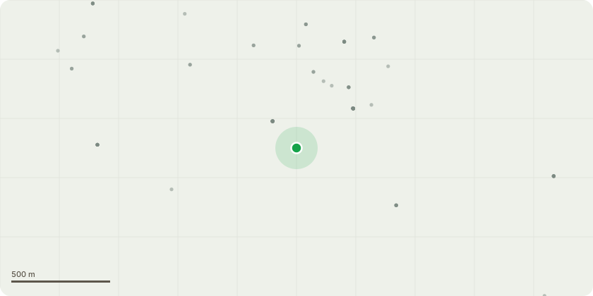
Approximate location
Proposal
Non-material amendment to planning permission 23/P/01276 approved 09/04/2024 to vary condition 18 to read as follows: 'Prior to first occupation the following package of measures shall be implemented at the applicants expense through a S278 Agreement in accordance with details to be submitted to and approved in writing by the Local Planning Authority: i) Waiting restrictions shall be implemented to the north-eastern side of the site access, in general accordance with Drawing Numbers 5967/227 Rev P4 and 5967/225 Rev P5 and at the Woodhill junction, in general accordance with Drawing Numbers 5967/232 Rev P5 and 5967/235 Rev P5. ii) Road safety improvements on London Road in accordance with drawing numbers 5967/222, rev 5 and 5967/225, rev P5. iii) Upgrade existing crossings on Send Barns Lane and London Road at the roundabout with Clandon Road and Portsmouth Road for use by pedestrians and cyclists by widening the central island on Send Barns Lane and installing new kerbs, tactile paving, surfacing and bollards and widen the shared use link to the London Road junction.'
Key dates
- Received 14 Oct 2025
- Validated 14 Oct 2025
- Started 14 Oct 2025
- Decided 21 Nov 2025
Planning history / related applications
No related planning applications have been identified in the current public OGL dataset.
Inside plotEdge
Go beyond the public record
This page is the public OGL record. plotEdge adds the private intelligence layer for this site - open it in the app to unlock:
- Ownership & title Registered owner and title from HM Land Registry.
- Viability & build potential Site scoring and development upside.
- Constraints Flood risk, green belt, conservation areas and designations.
- Approval signal Planning risk and approval-likelihood analysis.
- Comparable applications Decisions on similar nearby sites, side by side.
- Status alerts Get notified the moment this application changes.
Source: public planning application data from Guildford, reused under the Open Government Licence v3.0. View the council source record. Council documents and drawings are not republished on plotEdge.