Guildford
Guildford/24/P/01471
18 Fort Road, Guildford, GU1 3TD
- Reference
- Guildford/24/P/01471
- Authority
- Guildford
- Address
- 18 Fort Road, Guildford, GU1 3TD
- Postcode
- GU1 3TD
- Status
- Decided
- Decision
- Approve
- Received
- 8 Oct 2024
- Validated
- 8 Oct 2024
- Started
- 8 Oct 2024
- Decided
- 1 Apr 2025
- Source council
- Guildford
- Council source record
- View public record
- Public data licence
- Open Government Licence v3.0
- Record updated
- 18 Jul 2026
- SEO index generated
- 24 Jul 2026
Location
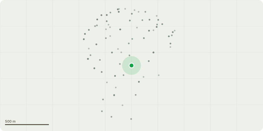
Approximate location
Proposal
Application under Section 73 of the Town and Country Planning Act 1990 to vary condition 2 (approved drawings) of planning permission 23/P/00776 for the proposed extension works and internal alterations to a Grade II Listed building including: 1. reinstatement of the original loggia, balcony and balustrade to the rear south elevation, following the evidence of historic images; 2. repair and reinforce the garden walls and paths, the lower and double staircase; 3. reinstate the garden house, following the evidence of historic images; 4. creation of a new side entrance into the historic pantry; 5. re-arrangement of the former kitchen and service areas by re-instating partitions to the former kitchen; 6. remove the south wall of the former scullery and coal store and form a terrace outside (as permitted with previous applications 10/P/00578 and 13/P/00861); 7. demolition and rebuilding of the 1914 garage; 8. formation of a swimming pool at the east end of the terrace with facilities underground ? previously permitted (10/P/00578); 9. removal of 5 x low value lime trees at the rear; 10. installation of 24 surface mounted PV panels at the rear to make changes to the approved drawings.
Key dates
- Received 8 Oct 2024
- Validated 8 Oct 2024
- Started 8 Oct 2024
- Decided 1 Apr 2025
Planning history / related applications
No related planning applications have been identified in the current public OGL dataset.
Inside plotEdge
Go beyond the public record
This page is the public OGL record. plotEdge adds the private intelligence layer for this site - open it in the app to unlock:
- Ownership & title Registered owner and title from HM Land Registry.
- Viability & build potential Site scoring and development upside.
- Constraints Flood risk, green belt, conservation areas and designations.
- Approval signal Planning risk and approval-likelihood analysis.
- Comparable applications Decisions on similar nearby sites, side by side.
- Status alerts Get notified the moment this application changes.
Source: public planning application data from Guildford, reused under the Open Government Licence v3.0. View the council source record. Council documents and drawings are not republished on plotEdge.