Greenwich
Greenwich/26/1005/NM
141-143 WOOLWICH ROAD, LONDON, SE10 0RJ
- Reference
- Greenwich/26/1005/NM
- Authority
- Greenwich
- Application type
- NM
- Address
- 141-143 WOOLWICH ROAD, LONDON, SE10 0RJ
- Postcode
- SE10 0RJ
- Status
- Decided
- Decision
- Approve
- Received
- 27 Mar 2026
- Started
- 27 Mar 2026
- Decided
- 29 Apr 2026
- Source council
- Greenwich
- Council source record
- View public record
- Public data licence
- Open Government Licence v3.0
- Record updated
- 18 Jul 2026
- SEO index generated
- 24 Jul 2026
Location
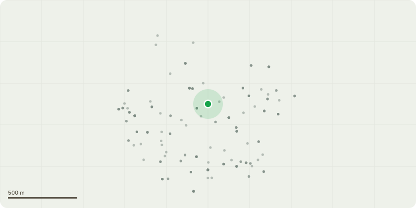
Approximate location
Proposal
An application submitted under Section 96a of the Town & Country Planning Act 1990 for a Non-Material Amendment in connection with planning permission reference 24/2634/F dated 26.03.2026 for Demolition of all existing buildings and structures on site and the mixed-use redevelopment of the site to provide three buildings, including purpose-built student accommodation (Sui Generis), and commercial, business and service use (Use Class E), with basement level, access, parking, refuse and service areas, hard and soft landscaping, and associated works to vary Condition 2 (Approved drawings) to allow:Reduction in height of Building C by one storey and now comprises ground plus five storeys. Removal of secondary fire escape staircases in Buildings A, B and C, and associated optimisation to all three building cores, including stair and lift locations.Amendments to room mix and cluster distribution to ensure compliance with BS 9991:2024. Revisions to façade panels at ground level, level 1 and level 5.Minor reconfiguration at ground level as a result of revised core and service riser layouts.Reduction in commercial floorspace and increase to ground floor student amenity.Reduction in basement footprint as a result of core and service riser layout optimisation.Minor alteration at roof level, primarily to accommodate the repositioning of lift overruns.Corresponding amendments to conditions 30 (Refuse and Recycling) and 31 (Cycle Parking) to reflect revised plans.
Key dates
- Received 27 Mar 2026
- Started 27 Mar 2026
- Decided 29 Apr 2026
Planning history / related applications
No related planning applications have been identified in the current public OGL dataset.
Inside plotEdge
Go beyond the public record
This page is the public OGL record. plotEdge adds the private intelligence layer for this site - open it in the app to unlock:
- Ownership & title Registered owner and title from HM Land Registry.
- Viability & build potential Site scoring and development upside.
- Constraints Flood risk, green belt, conservation areas and designations.
- Approval signal Planning risk and approval-likelihood analysis.
- Comparable applications Decisions on similar nearby sites, side by side.
- Status alerts Get notified the moment this application changes.
Source: public planning application data from Greenwich, reused under the Open Government Licence v3.0. View the council source record. Council documents and drawings are not republished on plotEdge.