Greenwich
Greenwich/26/0275/TC
14 WOODMERE, ELTHAM, LONDON, SE9 5NT
- Reference
- Greenwich/26/0275/TC
- Authority
- Greenwich
- Application type
- TC
- Address
- 14 WOODMERE, ELTHAM, LONDON, SE9 5NT
- Postcode
- SE9 5NT
- Status
- Decided
- Decision
- Raise No Objection
- Received
- 28 Jan 2026
- Started
- 29 Jan 2026
- Decided
- 26 Feb 2026
- Source council
- Greenwich
- Council source record
- View public record
- Public data licence
- Open Government Licence v3.0
- Record updated
- 18 Jul 2026
- SEO index generated
- 24 Jul 2026
Location
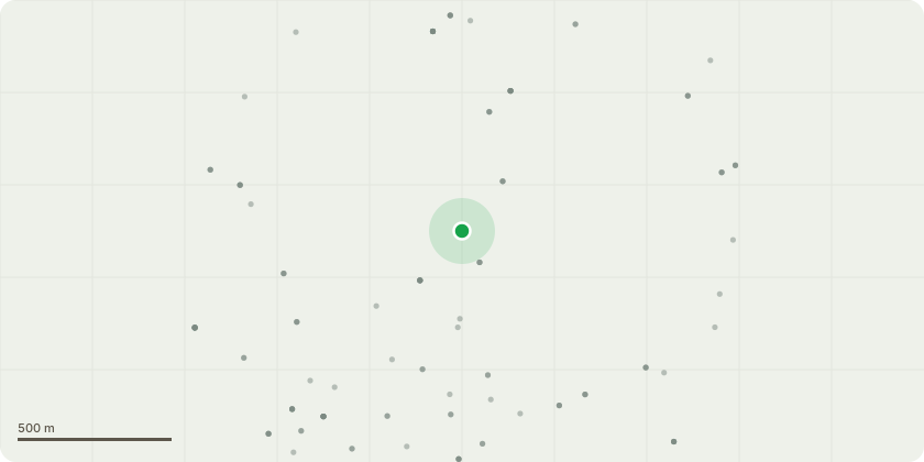
Approximate location
Proposal
Elderflower tree (red square marked as '1' on location map). A structural survey of a large crack in our garage identified the elderflower tree as the root cause of instability in the foundations, and its removal as critical to avoid further damage. The structural survey comments are included with the application. After the removal is completed and 6 months have passed, we can then begin remediation work to the large crack. N.B. that the structural engineer identified the overgrown scrub in the area marked by the yellow box on the location map as also being a risk to the foundations of the garage row. This is on Crown Lands, and there has been nobody managing or caretaking for this land in 18 months+ since the prior lease-holder of the land finished their tenancy, leaving it to become somewhat out of control and now also impacting our garage stability. We are unsure of who or how to seek a solution for this issue.
Key dates
- Received 28 Jan 2026
- Started 29 Jan 2026
- Decided 26 Feb 2026
Planning history / related applications
No related planning applications have been identified in the current public OGL dataset.
Inside plotEdge
Go beyond the public record
This page is the public OGL record. plotEdge adds the private intelligence layer for this site - open it in the app to unlock:
- Ownership & title Registered owner and title from HM Land Registry.
- Viability & build potential Site scoring and development upside.
- Constraints Flood risk, green belt, conservation areas and designations.
- Approval signal Planning risk and approval-likelihood analysis.
- Comparable applications Decisions on similar nearby sites, side by side.
- Status alerts Get notified the moment this application changes.
Source: public planning application data from Greenwich, reused under the Open Government Licence v3.0. View the council source record. Council documents and drawings are not republished on plotEdge.