Greenwich
Greenwich/25/3073/F
PLOTS 501-503, INCL, ADOPTED HIGHWAY LAND TO THE SOUTH, PART OF DRYDEN RD (ADJ PLOTS 402+405) & PART OF TRATHEN SQUARE (SOUTH OF PLOTS 302-304), GREENWICH MILLENNIUM VILLAGE, LONDON, SE10 0HZ
- Reference
- Greenwich/25/3073/F
- Authority
- Greenwich
- Application type
- F
- Address
- PLOTS 501-503, INCL, ADOPTED HIGHWAY LAND TO THE SOUTH, PART OF DRYDEN RD (ADJ PLOTS 402+405) & PART OF TRATHEN SQUARE (SOUTH OF PLOTS 302-304), GREENWICH MILLENNIUM VILLAGE, LONDON, SE10 0HZ
- Postcode
- SE10 0HZ
- Status
- Awaiting decision
- Received
- 25 Sept 2025
- Started
- 25 Sept 2025
- Source council
- Greenwich
- Council source record
- View public record
- Public data licence
- Open Government Licence v3.0
- Record updated
- 18 Jul 2026
- SEO index generated
- 24 Jul 2026
Location
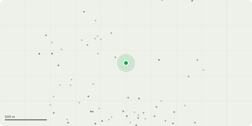
Approximate location
Proposal
Mixed use phased redevelopment of the site to provide residential development at ground level and above, including flexible commercial uses (Class E) at ground floor, together with associated vehicle access, servicing, car/cycle parking, landscaping and public realm improvements and other associated site clearance and enabling works, as well as temporary works necessary to enable the approved development.'Further detailed explanation of the proposal for consultation purposes (not forming part of the formal description of development set out above): Mixed use phased redevelopment of the site to provide 258 residential units development at ground level and above consisting of:Block A1 maximum 8 storeys (Max height to top of parapet 31.825 AOD), Block A2 maximum 6 storeys (Max height to top of parapet 25.525 AOD),Block A3 maximum 9 storeys (Max height to top of parapet 34.975 AOD),Block B1 maximum 6 storeys (Max height to top of parapet 25.125 AOD) andBlock B2 maximum 20 storeys (Max height to top of parapet 75.240 AOD)including 274sqm (GIA) flexible commercial uses (Class E) at ground floor, together with associated vehicle access, servicing, car/cycle parking, landscaping and public realm improvements and other associated site clearance and enabling works, as well as temporary works necessary to enable the approved development.'(This application is an EIA development and is accompanied by Environmental Statement) (The development may impact on the setting of the Maritime Greenwich World Heritage Site, Conservation Areas - Greenwich Park, East Greenwich, Westcombe Park, Charlton Riverside as well as nearby Grade II listed buildings)
Key dates
- Received 25 Sept 2025
- Started 25 Sept 2025
Planning history / related applications
No related planning applications have been identified in the current public OGL dataset.
Inside plotEdge
Go beyond the public record
This page is the public OGL record. plotEdge adds the private intelligence layer for this site - open it in the app to unlock:
- Ownership & title Registered owner and title from HM Land Registry.
- Viability & build potential Site scoring and development upside.
- Constraints Flood risk, green belt, conservation areas and designations.
- Approval signal Planning risk and approval-likelihood analysis.
- Comparable applications Decisions on similar nearby sites, side by side.
- Status alerts Get notified the moment this application changes.
Source: public planning application data from Greenwich, reused under the Open Government Licence v3.0. View the council source record. Council documents and drawings are not republished on plotEdge.