Greenwich
Greenwich/25/2585/NM
GARAGES ADJACENT TO 554 TO 584, MIDDLE PARK AVENUE, ELTHAM, SE9 5QS
- Reference
- Greenwich/25/2585/NM
- Authority
- Greenwich
- Application type
- NM
- Address
- GARAGES ADJACENT TO 554 TO 584, MIDDLE PARK AVENUE, ELTHAM, SE9 5QS
- Postcode
- SE9 5QS
- Status
- Decided
- Decision
- Approve
- Received
- 8 Aug 2025
- Started
- 8 Aug 2025
- Decided
- 26 Nov 2025
- Source council
- Greenwich
- Council source record
- View public record
- Public data licence
- Open Government Licence v3.0
- Record updated
- 18 Jul 2026
- SEO index generated
- 24 Jul 2026
Location
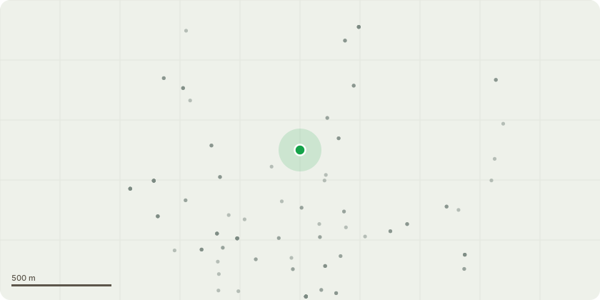
Approximate location
Proposal
An application submitted under Section 96a of the Town & Country Planning Act 1990 for a non-material amendment in connection with the planning permission referenced 23/0970/F dated 22nd April 2024 for "Demolition of existing garages and construction of a part 6, part 5, part 4 storey residential building (Class C3) with associated works" to amend the wording of Conditions 2 (Approved Drawings), 26 (Refuse & Recycling) and 27 (Cycle Parking) to facilitate:The building footprint has been shifted northwest to maximize separation from the existing sewer located to the southThe depth of the building has been reduced to increase the setback from the front boundary, allowing space for sheet piling behind the footpath. Floor-to-floor heights have been increased to provide sufficient servicing voids and meet technical requirementsBay projections have been squared off to minimize overhangs and ensure compliance with highway constraintsThe balustrade to the rear elevation walkways has been removed, with the upstand raised to a minimum height of 1100mm to meet fire strategy requirements for protected covered areasRefuse store, substation, and cycle store layouts have been reconfigured to relocate them away from the sewer line running along the south of the siteWindow layouts for wheelchair-accessible units have been revised in accordance with the fire strategy; fire-rated windows are required on the ground floor north elevationAdjustments have been made to the elevations and fenestration to accommodate the integration of structural columns.
Key dates
- Received 8 Aug 2025
- Started 8 Aug 2025
- Decided 26 Nov 2025
Planning history / related applications
No related planning applications have been identified in the current public OGL dataset.
Inside plotEdge
Go beyond the public record
This page is the public OGL record. plotEdge adds the private intelligence layer for this site - open it in the app to unlock:
- Ownership & title Registered owner and title from HM Land Registry.
- Viability & build potential Site scoring and development upside.
- Constraints Flood risk, green belt, conservation areas and designations.
- Approval signal Planning risk and approval-likelihood analysis.
- Comparable applications Decisions on similar nearby sites, side by side.
- Status alerts Get notified the moment this application changes.
Source: public planning application data from Greenwich, reused under the Open Government Licence v3.0. View the council source record. Council documents and drawings are not republished on plotEdge.