Greenwich
Greenwich/25/1655/NM
Maybloom Club, 26 Bostall Hill, Abbey Wood, London, SE2 0RA
- Reference
- Greenwich/25/1655/NM
- Authority
- Greenwich
- Application type
- NM
- Address
- Maybloom Club, 26 Bostall Hill, Abbey Wood, London, SE2 0RA
- Postcode
- SE2 0RA
- Status
- Decided
- Decision
- Approve
- Received
- 21 May 2025
- Started
- 8 Jul 2025
- Decided
- 5 Aug 2025
- Source council
- Greenwich
- Council source record
- View public record
- Public data licence
- Open Government Licence v3.0
- Record updated
- 18 Jul 2026
- SEO index generated
- 24 Jul 2026
Location
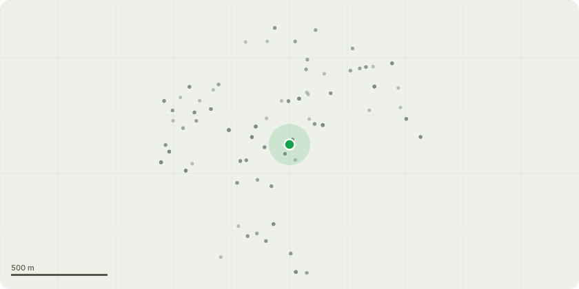
Approximate location
Proposal
An application submitted under Section 96a of the Town & Country Planning Act 1990 for a non-material amendment in connection with the planning permission dated 09/02/2024 (Ref: 23/3196/F) for Change of use of social club (Use Class F2) to place of religious worship (Use Class F1(f)), erection of external fire escape staircase, installation of ventilation grilles, extractor cowls and condenser units, replacement boundary treatment and associated external and internal alterations, to allow: - The replacement of the approved concrete block retaining walls situated below the fire exist staircase with concrete posts and gravel board retainer- The retention and repair of the existing fencing and log retaining boundary walls - The retention and repair of the carpark entrance gate- The omission of the previously approved brick infill to the front elevation and subsequent retention of these windows - The retention of the existing UPVC door- Revision of the design of the roof mounted extraction cowls which are to be made smaller - Inclusion of four steep hoop barriers to be installed to the overflow car park for safety purposes - Removal of the two approved external condenser units - Repositioning of the approved fire rated ventilation grills, to be moved higher on the western elevation - Widening of the bin store access walkway by 0.25
Key dates
- Received 21 May 2025
- Started 8 Jul 2025
- Decided 5 Aug 2025
Planning history / related applications
No related planning applications have been identified in the current public OGL dataset.
Inside plotEdge
Go beyond the public record
This page is the public OGL record. plotEdge adds the private intelligence layer for this site - open it in the app to unlock:
- Ownership & title Registered owner and title from HM Land Registry.
- Viability & build potential Site scoring and development upside.
- Constraints Flood risk, green belt, conservation areas and designations.
- Approval signal Planning risk and approval-likelihood analysis.
- Comparable applications Decisions on similar nearby sites, side by side.
- Status alerts Get notified the moment this application changes.
Source: public planning application data from Greenwich, reused under the Open Government Licence v3.0. View the council source record. Council documents and drawings are not republished on plotEdge.