Greenwich
Greenwich/25/1522/MA
123 GREENWICH SOUTH STREET, LONDON, SE10 8NX
- Reference
- Greenwich/25/1522/MA
- Authority
- Greenwich
- Application type
- MA
- Address
- 123 GREENWICH SOUTH STREET, LONDON, SE10 8NX
- Postcode
- SE10 8NX
- Status
- Decided
- Decision
- Approve
- Received
- 9 May 2025
- Started
- 9 May 2025
- Decided
- 2 Oct 2025
- Source council
- Greenwich
- Council source record
- View public record
- Public data licence
- Open Government Licence v3.0
- Record updated
- 18 Jul 2026
- SEO index generated
- 24 Jul 2026
Location
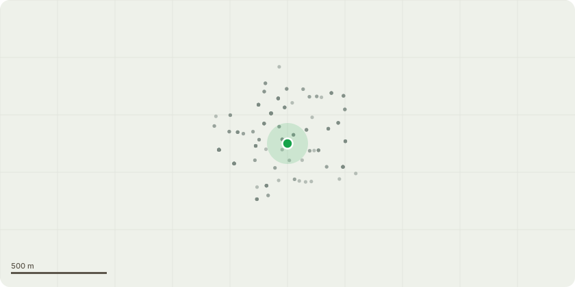
Approximate location
Proposal
An application submitted under Section 73 of the Town & Country Planning Act 1990 in connection with planning permission dated 06/10/2021, ref: 21/1884/MA for "An application submitted under Section 73 of the Town & Country Planning Act 1990 for a minor material amendment in connection with planning permission dated 16/03/2021 Ref: 20/3856/F for Construction of nine flats (comprising 1 x studio, 5 x 1-bed, 2 x 2-bed and 1 x 3-bed) over retail unit (with ancillary basement), in two/three storeys, with parking to rear and vehicular access off Lindsell street. Amendment to Planning Permission 17/1914/F (as further amended by 20/1360/MA)." to allow: - Variation of Condition 2 (Approved Drawings), - Installation of 3 louvred vents on the rear elevation of the store at ground floor level; - Infill of the approved window on the rear elevation with brick to match the approved materials; - Replacement of the approved metal fenced enclosure to the plant area with a timber hit-and-miss fence; and - Correction to ground floor retail space annotated on drawings. (Amended description), to allow:- Amendment to Condition 17 (Hours of Operations and Deliveries), relating to hours of opening only, to extend the evening hours of opening on Sundays and Public Holidays only [Amended Description]
Key dates
- Received 9 May 2025
- Started 9 May 2025
- Decided 2 Oct 2025
Planning history / related applications
No related planning applications have been identified in the current public OGL dataset.
Inside plotEdge
Go beyond the public record
This page is the public OGL record. plotEdge adds the private intelligence layer for this site - open it in the app to unlock:
- Ownership & title Registered owner and title from HM Land Registry.
- Viability & build potential Site scoring and development upside.
- Constraints Flood risk, green belt, conservation areas and designations.
- Approval signal Planning risk and approval-likelihood analysis.
- Comparable applications Decisions on similar nearby sites, side by side.
- Status alerts Get notified the moment this application changes.
Source: public planning application data from Greenwich, reused under the Open Government Licence v3.0. View the council source record. Council documents and drawings are not republished on plotEdge.