Greenwich
Greenwich/25/0595/TP
BLACKHEATH HIGH SCHOOL, 27 VANBRUGH PARK, BLACKHEATH, LONDON, SE3 7AG
- Reference
- Greenwich/25/0595/TP
- Authority
- Greenwich
- Application type
- TP
- Address
- BLACKHEATH HIGH SCHOOL, 27 VANBRUGH PARK, BLACKHEATH, LONDON, SE3 7AG
- Postcode
- SE3 7AG
- Status
- Decided
- Decision
- Approve
- Received
- 24 Feb 2025
- Started
- 25 Feb 2025
- Decided
- 22 Apr 2025
- Source council
- Greenwich
- Council source record
- View public record
- Public data licence
- Open Government Licence v3.0
- Record updated
- 18 Jul 2026
- SEO index generated
- 24 Jul 2026
Location
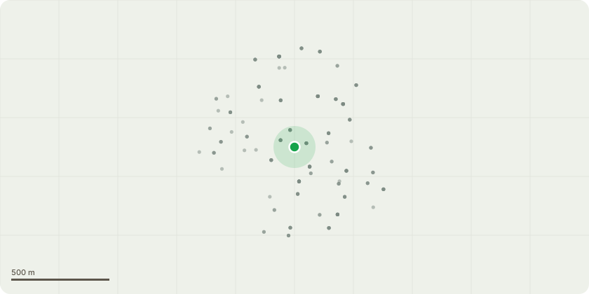
Approximate location
Proposal
T2 common holly - A declining tree situated immediately adjacent adjacent to southern school entrance. Significant apical decline with >50% loss of canopy. Basal decay also noted. Removal and suitable replacement advised ASAP. T11 common holly - within garden area adjacent to the southern school entrance - prune from buildings /structure 1.5m. T13 common lime - remove sucker growth. T17 sycamore Fell - adjacent to western boundary - deadwood visible. Large stem cavity visible at approximately 6m on eastern stem requires further investigation by way of aerial inspection. Aerial inspection undertaken on 18/10/14. A large cavity was probed during the aerial inspection and was found to be significant in terms of size. The cavity had an inward progression of approxiamtely 35cm. The upward and downward progression was measured as 50cm & 35cm respectively. The remaining residual wall thickness at this cavity was measured as being approximately 11cm. Significant cambium dysfunction and loss was discovered in the upper canopy with several primary and secondary limbs affected. A large primary limb situated at approximately 10m displayed a strip of cambium loss, extensing approximately 65cm from the branch collar. This limb forms a large portion of ther upper canopy and is likley to fail. Suitable replacement planting should be undertaken. T18 common holly - situated adjacent to western boundary. - remove sucker growth SEE REPORT AND TREE LOCATION PLAN
Key dates
- Received 24 Feb 2025
- Started 25 Feb 2025
- Decided 22 Apr 2025
Planning history / related applications
No related planning applications have been identified in the current public OGL dataset.
Inside plotEdge
Go beyond the public record
This page is the public OGL record. plotEdge adds the private intelligence layer for this site - open it in the app to unlock:
- Ownership & title Registered owner and title from HM Land Registry.
- Viability & build potential Site scoring and development upside.
- Constraints Flood risk, green belt, conservation areas and designations.
- Approval signal Planning risk and approval-likelihood analysis.
- Comparable applications Decisions on similar nearby sites, side by side.
- Status alerts Get notified the moment this application changes.
Source: public planning application data from Greenwich, reused under the Open Government Licence v3.0. View the council source record. Council documents and drawings are not republished on plotEdge.