Greenwich
Greenwich/24/4159/TC
PEABODY CLOSE, 41 DEVONSHIRE DRIVE, GREENWICH, LONDON, SE10 8LB
- Reference
- Greenwich/24/4159/TC
- Authority
- Greenwich
- Application type
- TC
- Address
- PEABODY CLOSE, 41 DEVONSHIRE DRIVE, GREENWICH, LONDON, SE10 8LB
- Postcode
- SE10 8LB
- Status
- Decided
- Decision
- Raise No Objection
- Received
- 18 Dec 2024
- Started
- 19 Dec 2024
- Decided
- 30 Jan 2025
- Source council
- Greenwich
- Council source record
- View public record
- Public data licence
- Open Government Licence v3.0
- Record updated
- 18 Jul 2026
- SEO index generated
- 24 Jul 2026
Location
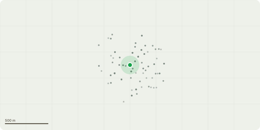
Approximate location
Proposal
T1 Purple Plum - - To reduce overall canopy to give 1-2M of clearance from the garages and reduce north canopy by up to 2M and shape accordingly. T2- T5, T7- T10 Purple Plum - Crown Reduction - up to 2M of north canopy and shape accordingly. T6 Purple Plum - Crown Reduction - 1M reduction of north canopy to match adjacent tree worked canopies. T7 Purple Plum - Crown Reduction - up to 2M of north canopy and shape accordingly. T11 Purple Plum - To reduce overall canopy by up to 1M and shape accordingly. T16 Giant Sequoia - To reduce overall canopy by up to 3M. T20 Maidenhair Tree - Crown reduction - 2M reduction of north weakly attached branch. T24 Cider Gum - To carefully section fell as close to ground level as possible. T26 Sycamore - To reduce back to previous points. T28 Myrobalan Plum - To cut back from the walkway to provide unobstructed access. T29 Rowan - To carefully section fell as close to ground level as possible and replant with 1 x ROBINIA pseudoacacia 'Pink Cascade' 70L 16/18cm girth. T31 Crab Apple - Crown lift - To raise the lower canopy to 2.5M from ground level. T33 Robinia - Rear boundary. Situated at 39 Devonshire Drive: Neighbours are complaining of light issues. The tree has been previously pollarded and some evidence of deadwood throughout the canopy including 1 central stem showing signs of delaminating bark. To re-pollard - To reduce back to previous reduction points and remove major deadwood throughout the canopy.
Key dates
- Received 18 Dec 2024
- Started 19 Dec 2024
- Decided 30 Jan 2025
Planning history / related applications
No related planning applications have been identified in the current public OGL dataset.
Inside plotEdge
Go beyond the public record
This page is the public OGL record. plotEdge adds the private intelligence layer for this site - open it in the app to unlock:
- Ownership & title Registered owner and title from HM Land Registry.
- Viability & build potential Site scoring and development upside.
- Constraints Flood risk, green belt, conservation areas and designations.
- Approval signal Planning risk and approval-likelihood analysis.
- Comparable applications Decisions on similar nearby sites, side by side.
- Status alerts Get notified the moment this application changes.
Source: public planning application data from Greenwich, reused under the Open Government Licence v3.0. View the council source record. Council documents and drawings are not republished on plotEdge.