Greenwich
Greenwich/24/4048/TC
REAR OF 29-33 CORNER GREEN, BLACKHEATH, LONDON, SE3 9JJ
- Reference
- Greenwich/24/4048/TC
- Authority
- Greenwich
- Application type
- TC
- Address
- REAR OF 29-33 CORNER GREEN, BLACKHEATH, LONDON, SE3 9JJ
- Postcode
- SE3 9JJ
- Status
- Decided
- Decision
- Raise No Objection
- Received
- 11 Dec 2024
- Started
- 12 Dec 2024
- Decided
- 24 Jan 2025
- Source council
- Greenwich
- Council source record
- View public record
- Public data licence
- Open Government Licence v3.0
- Record updated
- 18 Jul 2026
- SEO index generated
- 24 Jul 2026
Location
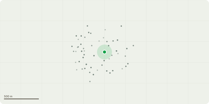
Approximate location
Proposal
T1 Sycamore - Remove lowest branches up to crown break (raise canopy by 2m from 4m to 6m) as these are overhanging the gardens of this and the neighbouring community gardens causing unnecessary issues with light and a sense of enclosure instead of openness. T2 Ash (in alley) - fell to ground level and eco-plug stump -wrong plant in wrong place, alley provides access to the gardens for residents and tradespeople alike. Replacement planting would be considered. T3 Sycamore - rebalance crown by raising canopy off garages by 2m and thinning the crown by up to 30%. This very low co-dominant stemmed mature tree has always been a cause of concern for all the residents who live, park and have garages underneath it. It is growing right next to a tall 20ft wall and the feeling is that maintaining the canopy at slightly smaller proportions would alleviate the worry the community have about it.
Key dates
- Received 11 Dec 2024
- Started 12 Dec 2024
- Decided 24 Jan 2025
Planning history / related applications
No related planning applications have been identified in the current public OGL dataset.
Inside plotEdge
Go beyond the public record
This page is the public OGL record. plotEdge adds the private intelligence layer for this site - open it in the app to unlock:
- Ownership & title Registered owner and title from HM Land Registry.
- Viability & build potential Site scoring and development upside.
- Constraints Flood risk, green belt, conservation areas and designations.
- Approval signal Planning risk and approval-likelihood analysis.
- Comparable applications Decisions on similar nearby sites, side by side.
- Status alerts Get notified the moment this application changes.
Source: public planning application data from Greenwich, reused under the Open Government Licence v3.0. View the council source record. Council documents and drawings are not republished on plotEdge.