Greenwich
Greenwich/24/3939/MA
SHOOTERS HILL POST 16 CAMPUS, RED LION LANE, PLUMSTEAD, LONDON, SE18 4LD
- Reference
- Greenwich/24/3939/MA
- Authority
- Greenwich
- Application type
- MA
- Address
- SHOOTERS HILL POST 16 CAMPUS, RED LION LANE, PLUMSTEAD, LONDON, SE18 4LD
- Postcode
- SE18 4LD
- Status
- Decided
- Decision
- Approve
- Received
- 3 Dec 2024
- Started
- 11 Dec 2024
- Decided
- 6 Feb 2025
- Source council
- Greenwich
- Council source record
- View public record
- Public data licence
- Open Government Licence v3.0
- Record updated
- 18 Jul 2026
- SEO index generated
- 24 Jul 2026
Location
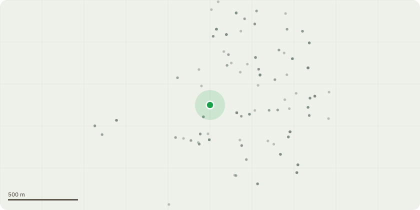
Approximate location
Proposal
An application submitted under Section 73 of the Town & Country Planning Act 1990 for a minor material amendment in connection with the planning permission dated 09/02/2023 (Reference: 22/2320/F) for the 'Construction of a new two-storey teaching block for Shooters Hill Sixth Form College to provide general teaching spaces and ancillary office and storage space with associated soft landscaping and services infrastructure.'.' to allow for - Variation of Condition 2 (Drawings and Plans) including: Amending of location of buildingInclusion of an enclosed air source heat pump Addition of a retaining wall and steps to the east elevation Provision of separate 14 covered cycle parking spaces and 12 covered cycle parking spaces with associated additional hardstanding Removal of rear doors to classrooms 1 and 2 Relocation of plant room doorIncrease in width of external doorsAddition of PVs to the roof and associated roof access hatch for maintenance and increase in overall height of 300mmMinor alterations to the louvresSite levels create plinthWidening of external doorsIntroduction of metal guarding to the side elevation Lowering of the soffit boards to the side elevation Variation of the wording of Condition 7 (BREEAM)
Key dates
- Received 3 Dec 2024
- Started 11 Dec 2024
- Decided 6 Feb 2025
Planning history / related applications
No related planning applications have been identified in the current public OGL dataset.
Inside plotEdge
Go beyond the public record
This page is the public OGL record. plotEdge adds the private intelligence layer for this site - open it in the app to unlock:
- Ownership & title Registered owner and title from HM Land Registry.
- Viability & build potential Site scoring and development upside.
- Constraints Flood risk, green belt, conservation areas and designations.
- Approval signal Planning risk and approval-likelihood analysis.
- Comparable applications Decisions on similar nearby sites, side by side.
- Status alerts Get notified the moment this application changes.
Source: public planning application data from Greenwich, reused under the Open Government Licence v3.0. View the council source record. Council documents and drawings are not republished on plotEdge.