Greenwich
Greenwich/24/3509/MA
Land Between Creek Road and Bardsley Lane, Greenwich, London, SE10 9SW
- Reference
- Greenwich/24/3509/MA
- Authority
- Greenwich
- Application type
- MA
- Address
- Land Between Creek Road and Bardsley Lane, Greenwich, London, SE10 9SW
- Postcode
- SE10 9SW
- Status
- Withdrawn
- Decision
- Withdrawn
- Received
- 29 Oct 2024
- Started
- 12 Nov 2024
- Decided
- 7 Apr 2025
- Source council
- Greenwich
- Council source record
- View public record
- Public data licence
- Open Government Licence v3.0
- Record updated
- 18 Jul 2026
- SEO index generated
- 24 Jul 2026
Location
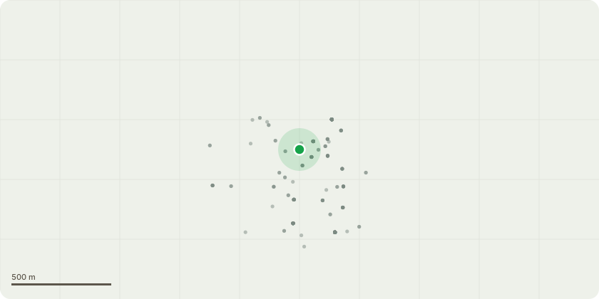
Approximate location
Proposal
An application submitted under Section 73 of the Town & Country Planning Act 1990 for a minor material amendment in connection with the planning permission dated 07/06/2017 (Reference: 15/2186/V) for "Variation of condition 10 (Amalgamation of Units), condition 44 (Hours of Operation) and condition 45 (Commercial Floor Space) of planning permission dated 18/11/2013 (Ref: 13/0364/F) to allow the proposed Gym in Block 02 to operate on a 24 hour basis." to allow:- Variation of condition 10 to remove the restriction relating to the amalgamation of the ground floor commercial units in Block 01;- Variation of condition 56 to read: 'The ground floor frontage of the commercial unit within Block 01 facing onto Creek Road should be arranged as per drawing no. 03_4911_03B and no other window shall be obscured unless agreed otherwise in writing by the Local Planning Authority.No ground floor windows of the commercial unit within Block 02 facing onto Creek Road shall be obscured and all shall be subsequently maintained as open active frontage unless otherwise agreed in writing by the Local Planning Authority."
Key dates
- Received 29 Oct 2024
- Started 12 Nov 2024
- Decided 7 Apr 2025
Planning history / related applications
No related planning applications have been identified in the current public OGL dataset.
Inside plotEdge
Go beyond the public record
This page is the public OGL record. plotEdge adds the private intelligence layer for this site - open it in the app to unlock:
- Ownership & title Registered owner and title from HM Land Registry.
- Viability & build potential Site scoring and development upside.
- Constraints Flood risk, green belt, conservation areas and designations.
- Approval signal Planning risk and approval-likelihood analysis.
- Comparable applications Decisions on similar nearby sites, side by side.
- Status alerts Get notified the moment this application changes.
Source: public planning application data from Greenwich, reused under the Open Government Licence v3.0. View the council source record. Council documents and drawings are not republished on plotEdge.