Greenwich
Greenwich/24/1353/NM
Land at Nos. 6, 61-81 and Coopers Yard, Eastmoor Street and Nos. 6 & 10 Westmoor Street, Charlton, London, SE7 8LX
- Reference
- Greenwich/24/1353/NM
- Authority
- Greenwich
- Application type
- NM
- Address
- Land at Nos. 6, 61-81 and Coopers Yard, Eastmoor Street and Nos. 6 & 10 Westmoor Street, Charlton, London, SE7 8LX
- Postcode
- SE7 8LX
- Status
- Decided
- Decision
- Approve
- Received
- 25 Apr 2024
- Started
- 15 Aug 2024
- Decided
- 19 Nov 2024
- Source council
- Greenwich
- Council source record
- View public record
- Public data licence
- Open Government Licence v3.0
- Record updated
- 18 Jul 2026
- SEO index generated
- 24 Jul 2026
Location
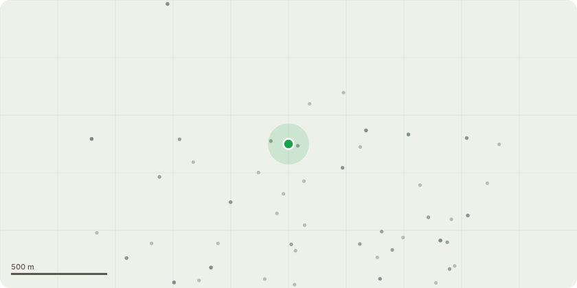
Approximate location
Proposal
An application submitted under Section 96a of the Town & Country Planning Act 1990 for a non-material amendment in connection with the planning permission dated 30/04/2024 (Reference: 23/2423/MA) for " An application submitted under Section 73 of the Town & Country Planning Act 1990 in connection with the planning permission 20/1924/F dated 06/05/2022 which was allowed by appeal (Appeal Ref: APP/E5330/W/21/3285177) for 'Demolition of existing structures and erection of buildings between 6 and 9 storeys in height comprising residential units, flexible employment floorspace and flexible retail and community uses with associated landscaping and new public realm, access and infrastructure works, refuse and recycling storage, car parking and cycle parking and associated development' to allow the variation of conditions 1, 2, 18, 38, 49, 50, 57, 58 and 61 to facilitate the modification to the internal arrangement and inclusion of second staircores' the amendment seeks to introduce a phased demolition and construction plan (3 phases) and minor adjustments to 11 balconies in Block C to align with land ownership boundaries and not over-sail the public highway.
Key dates
- Received 25 Apr 2024
- Started 15 Aug 2024
- Decided 19 Nov 2024
Planning history / related applications
No related planning applications have been identified in the current public OGL dataset.
Inside plotEdge
Go beyond the public record
This page is the public OGL record. plotEdge adds the private intelligence layer for this site - open it in the app to unlock:
- Ownership & title Registered owner and title from HM Land Registry.
- Viability & build potential Site scoring and development upside.
- Constraints Flood risk, green belt, conservation areas and designations.
- Approval signal Planning risk and approval-likelihood analysis.
- Comparable applications Decisions on similar nearby sites, side by side.
- Status alerts Get notified the moment this application changes.
Source: public planning application data from Greenwich, reused under the Open Government Licence v3.0. View the council source record. Council documents and drawings are not republished on plotEdge.