Great Yarmouth
Great Yarmouth/06/26/0235/PU
Land known as part of Site 17, Beacon Park Land opposite and north-east of Unit 2, Malory Road Malory Road Gorleston NR31 7DU
- Reference
- Great Yarmouth/06/26/0235/PU
- Authority
- Great Yarmouth
- Address
- Land known as part of Site 17, Beacon Park Land opposite and north-east of Unit 2, Malory Road Malory Road Gorleston NR31 7DU
- Postcode
- NR31 7DU
- Status
- Undecided
- Received
- 30 Mar 2026
- Started
- 30 Mar 2026
- Source council
- Great Yarmouth
- Council source record
- View public record
- Public data licence
- Open Government Licence v3.0
- Record updated
- 12 Jul 2026
- SEO index generated
- 24 Jul 2026
Location
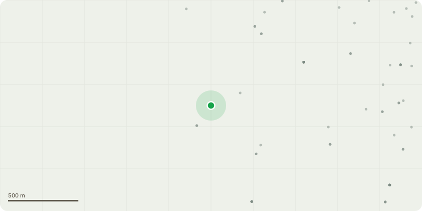
Approximate location
Proposal
Application for a Certificate of Lawful Proposed Use or Development for works allowable under the Local Development Order for Beacon Park (2022): Construction of 16 no. new light-industrial commercial starter units to provide 2,144sqm internal floor area, arranged in two single-storey terraced blocks up to 8m tall (eight units per terrace) with ancillary office space, WC/kitchenette facilities and vehicular access doors; Associated works including formation of a new vehicular access from Malory Road, a central spine estate road with turning head, 32-space car park and covered cycle storage, refuse storage, and landscaping.
Key dates
- Received 30 Mar 2026
- Started 30 Mar 2026
Planning history / related applications
No related planning applications have been identified in the current public OGL dataset.
Inside plotEdge
Go beyond the public record
This page is the public OGL record. plotEdge adds the private intelligence layer for this site - open it in the app to unlock:
- Ownership & title Registered owner and title from HM Land Registry.
- Viability & build potential Site scoring and development upside.
- Constraints Flood risk, green belt, conservation areas and designations.
- Approval signal Planning risk and approval-likelihood analysis.
- Comparable applications Decisions on similar nearby sites, side by side.
- Status alerts Get notified the moment this application changes.
Source: public planning application data from Great Yarmouth, reused under the Open Government Licence v3.0. View the council source record. Council documents and drawings are not republished on plotEdge.