Gloucester
Gloucester/26/00629/TRECON
4 Heathville Road Gloucester GL1 3DP
- Reference
- Gloucester/26/00629/TRECON
- Authority
- Gloucester
- Application type
- TRECON
- Address
- 4 Heathville Road Gloucester GL1 3DP
- Postcode
- GL1 3DP
- Status
- Decided
- Decision
- Tree Conservation Area No Objection
- Received
- 13 Jul 2026
- Validated
- 13 Jul 2026
- Started
- 13 Jul 2026
- Decided
- 13 Jul 2026
- Source council
- Gloucester
- Council source record
- View public record
- Public data licence
- Open Government Licence v3.0
- Record updated
- 18 Jul 2026
- SEO index generated
- 24 Jul 2026
Location
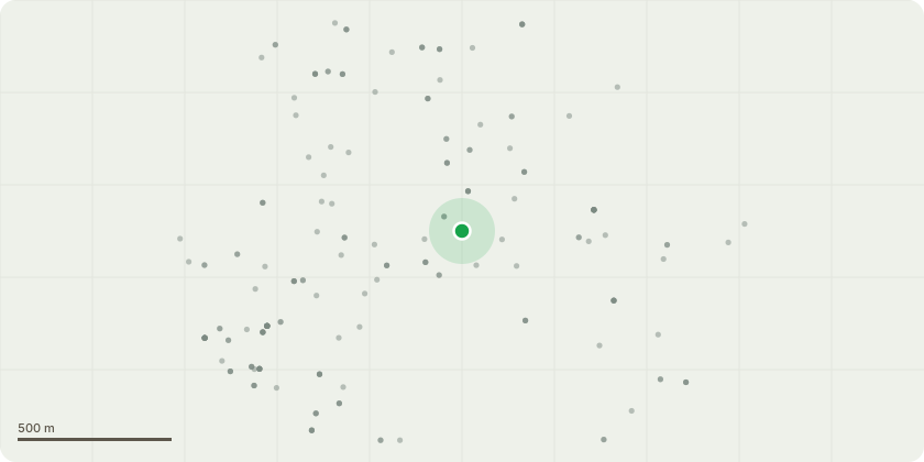
Approximate location
Proposal
This application is being submitted on behalf of my elderly mother-in-law.1. Removal of a small Yew tree. This is located at the boundary wall between the property and the public pavement. Thr main trunk of the Yew tree grows almost horizontally from the foot of dwarf boundary wall towards the main property. The dimensions of the Yew tree 3.2m* 3m wide and aprox 4m high. As the tree is located 1.5m from the propertys foul water drain and 2m to the public sewer there is concern that the roots will damage the foul water drains. In addition as the root system is expected to encrouch on the main property it is likely to cause damage to the foundations of the building. (Note there is a cellar directly under this part of the property increasing the risk of property damage.) Further the tree roots will impact the integrity of the boundary wall and potemntially the public pavement.2. Removal of a Bay tree.This tree is aprox 10 -15m tall and located within 3m of the property rear, and within 0.3m located of boundary wall with the neighbouring property. The neighbouring property is around 1m from this wall. The primary concern is the impact the root system has on the two properties and the boundary wall plus the reduction of light to the neighbours property.
Key dates
- Received 13 Jul 2026
- Validated 13 Jul 2026
- Started 13 Jul 2026
- Decided 13 Jul 2026
Planning history / related applications
No related planning applications have been identified in the current public OGL dataset.
Inside plotEdge
Go beyond the public record
This page is the public OGL record. plotEdge adds the private intelligence layer for this site - open it in the app to unlock:
- Ownership & title Registered owner and title from HM Land Registry.
- Viability & build potential Site scoring and development upside.
- Constraints Flood risk, green belt, conservation areas and designations.
- Approval signal Planning risk and approval-likelihood analysis.
- Comparable applications Decisions on similar nearby sites, side by side.
- Status alerts Get notified the moment this application changes.
Source: public planning application data from Gloucester, reused under the Open Government Licence v3.0. View the council source record. Council documents and drawings are not republished on plotEdge.