Gloucester
Gloucester/26/00569/TPO
Finlay Community School Finlay Road Gloucester GL4 6TR
- Reference
- Gloucester/26/00569/TPO
- Authority
- Gloucester
- Application type
- Tree preservation order
- Address
- Finlay Community School Finlay Road Gloucester GL4 6TR
- Postcode
- GL4 6TR
- Status
- Decided
- Decision
- TPO Decision Notice
- Received
- 26 Jun 2026
- Validated
- 13 Jul 2026
- Started
- 13 Jul 2026
- Decided
- 13 Jul 2026
- Source council
- Gloucester
- Council source record
- View public record
- Public data licence
- Open Government Licence v3.0
- Record updated
- 18 Jul 2026
- SEO index generated
- 24 Jul 2026
Location
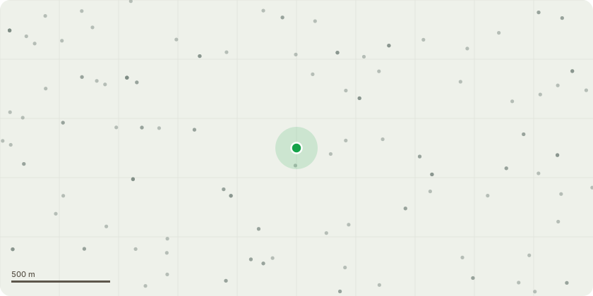
Approximate location
Proposal
This is a mature Eucalyptus Cider Gum tree (T15 on the sketch plan) situated within the primary school grounds immediately adjacent to the main play area and close to school buildings. Due to its size, the crown now extends over parts of the school buildings, with branches encroaching on the roof and guttering, which causes regular accumulation of leaves, bark and other debris, leading to blocked gutters, increased maintenance requirements and the potential for water overflow and damage to the building.The tree is also heavily used by and adjacent to the areas occupied daily by young children. While the tree appears to be in generally good health, the school wants to adopt a proactive management approach by reducing the end weight on principal limbs and maintaining the tree at an appropriate size for its location. This will help reduce loading onto the larger scaffold branches, improve clearance from the buildings, lessen the amount of debris falling into the play area and gutters, and assist with the long-term retention of the tree.The proposed works include a 25% crown reduction carried out in accordance with BS3998, plus removing branches overhanging the school buildings, providing a minimum of 2-3 metres clearance from roofs and gutters, and removing deadwood greater than 25mm diameter.
Key dates
- Received 26 Jun 2026
- Validated 13 Jul 2026
- Started 13 Jul 2026
- Decided 13 Jul 2026
Planning history / related applications
No related planning applications have been identified in the current public OGL dataset.
Inside plotEdge
Go beyond the public record
This page is the public OGL record. plotEdge adds the private intelligence layer for this site - open it in the app to unlock:
- Ownership & title Registered owner and title from HM Land Registry.
- Viability & build potential Site scoring and development upside.
- Constraints Flood risk, green belt, conservation areas and designations.
- Approval signal Planning risk and approval-likelihood analysis.
- Comparable applications Decisions on similar nearby sites, side by side.
- Status alerts Get notified the moment this application changes.
Source: public planning application data from Gloucester, reused under the Open Government Licence v3.0. View the council source record. Council documents and drawings are not republished on plotEdge.