Gloucester
Gloucester/26/00146/TPO
85 Greenways Gloucester GL4 3SA
- Reference
- Gloucester/26/00146/TPO
- Authority
- Gloucester
- Application type
- Tree preservation order
- Address
- 85 Greenways Gloucester GL4 3SA
- Postcode
- GL4 3SA
- Status
- Awaiting decision
- Decision
- TPO Refuse
- Received
- 19 Feb 2026
- Started
- 19 Feb 2026
- Decided
- 19 Feb 2026
- Source council
- Gloucester
- Council source record
- View public record
- Public data licence
- Open Government Licence v3.0
- Record updated
- 18 Jul 2026
- SEO index generated
- 24 Jul 2026
Location
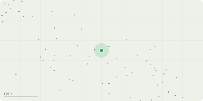
Approximate location
Proposal
See attached plan and photos.The main element of the request is to reduce down the size of the T6 Lime Tree due to its close proximity to our house. By requesting significant pollarding (up to 10 metres) and a reduction in height and breadth to this tree, it will create better light to the garden and house, especially during months from May to October. This tree also attracts pigeons that perch / roost and create a lot of droppings on to our patio - this is a significant risk to our health.I would like to request consideration for actual removal of T6 Lime. Its close proximity to our house is a concern in the event of branches falling on to the roof of the extension. There are also concerns of the roots of the tree causing damage in the future.I am also concerned about the height and size of a tree which borders my boundary in the grounds of the New Medica unit on Barnett Way, Barnwood, Gloucester (photo 5 attached). I have attached a photo of this tree as it has grown significantly in the past 4-5 years. The landlord has not undertaken any remedial work on it to keep it under control. This tree has seemingly grown from a sapling. I would value your comments on how this issue can be resolved as this is now having an impact on roots coming in to our garden and causing significant issues with regards to light being reduced in to the garden.I would welcome a visit from the planning officer to discuss this application in more detail.
Key dates
- Received 19 Feb 2026
- Started 19 Feb 2026
- Decided 19 Feb 2026
Planning history / related applications
No related planning applications have been identified in the current public OGL dataset.
Inside plotEdge
Go beyond the public record
This page is the public OGL record. plotEdge adds the private intelligence layer for this site - open it in the app to unlock:
- Ownership & title Registered owner and title from HM Land Registry.
- Viability & build potential Site scoring and development upside.
- Constraints Flood risk, green belt, conservation areas and designations.
- Approval signal Planning risk and approval-likelihood analysis.
- Comparable applications Decisions on similar nearby sites, side by side.
- Status alerts Get notified the moment this application changes.
Source: public planning application data from Gloucester, reused under the Open Government Licence v3.0. View the council source record. Council documents and drawings are not republished on plotEdge.