Gloucester
Gloucester/25/01174/TPO
15 Green Pippin Close Gloucester GL2 0PA
- Reference
- Gloucester/25/01174/TPO
- Authority
- Gloucester
- Application type
- Tree preservation order
- Address
- 15 Green Pippin Close Gloucester GL2 0PA
- Postcode
- GL2 0PA
- Status
- Awaiting decision
- Decision
- TPO Refuse
- Received
- 16 Jan 2026
- Started
- 16 Jan 2026
- Decided
- 10 Feb 2026
- Source council
- Gloucester
- Council source record
- View public record
- Public data licence
- Open Government Licence v3.0
- Record updated
- 18 Jul 2026
- SEO index generated
- 24 Jul 2026
Location
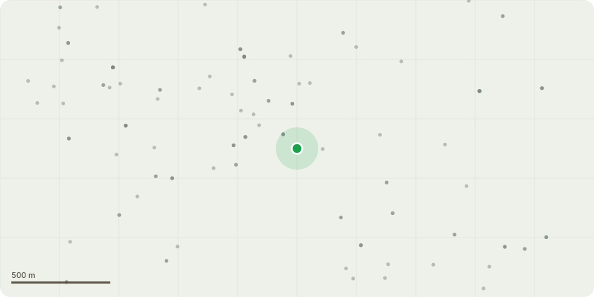
Approximate location
Proposal
Ash tree numbered T7 on the TPO 107, wrongly shown on TPO105. Given the tree isn't a good example of an ASH and the TPO was clearer placed on this tree and many others in the area in the past for the wrong reasons - to prevent planning and building of other houses there is no reason the tree can not be removed.We have a clear report from a specialist which we have shared with our house insurance company and they are insisting we apply for removal. The tree is 25m tall and is only 4 m from our property. If we fail to get a good reason if you decide removal isn't granted our insurance will become a problem.Please note if you still wish to "protect the area" we would be prepared to plant a different tree within our garden but far enough away so it couldn't fall on the house.We have examined carefully your guide on why a tree would have a TPO and can find no reason for such an order being required on a tree in this condition.
Key dates
- Received 16 Jan 2026
- Started 16 Jan 2026
- Decided 10 Feb 2026
Planning history / related applications
No related planning applications have been identified in the current public OGL dataset.
Inside plotEdge
Go beyond the public record
This page is the public OGL record. plotEdge adds the private intelligence layer for this site - open it in the app to unlock:
- Ownership & title Registered owner and title from HM Land Registry.
- Viability & build potential Site scoring and development upside.
- Constraints Flood risk, green belt, conservation areas and designations.
- Approval signal Planning risk and approval-likelihood analysis.
- Comparable applications Decisions on similar nearby sites, side by side.
- Status alerts Get notified the moment this application changes.
Source: public planning application data from Gloucester, reused under the Open Government Licence v3.0. View the council source record. Council documents and drawings are not republished on plotEdge.