Gloucester
Gloucester/25/01126/TPO
40 Furlong Road Gloucester GL1 4UT
- Reference
- Gloucester/25/01126/TPO
- Authority
- Gloucester
- Application type
- Tree preservation order
- Address
- 40 Furlong Road Gloucester GL1 4UT
- Postcode
- GL1 4UT
- Status
- Decided
- Decision
- TPO Decision Notice
- Received
- 19 Dec 2025
- Validated
- 8 Jan 2026
- Started
- 8 Jan 2026
- Decided
- 8 Jan 2026
- Source council
- Gloucester
- Council source record
- View public record
- Public data licence
- Open Government Licence v3.0
- Record updated
- 18 Jul 2026
- SEO index generated
- 24 Jul 2026
Location
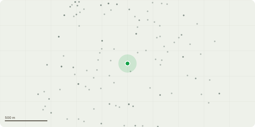
Approximate location
Proposal
T1 ? Beech (Fagus sylvatica)This semi-mature Beech has previously been pruned in 2014, 2017, and most recently in February 2021. Given its location within a constrained urban residential environment, and its proximity to the main dwelling and an adjacent boundary wall, it is considered appropriate to seek consent for a further cycle of proportionate management pruning. The intention is to help the tree continue to be maintained in a manner that respects both its amenity value and its relationship with nearby structures. The proposed works are intended as proportionate management, and we would welcome any guidance or recommendations the Tree Officer may have.All works are proposed in accordance with BS3998:2010.1. Crown ReductionIt is proposed to reduce the crown by up to 1.5m (5ft) in height and lateral spread, using selective tip pruning to retain a natural and balanced form. This modest reduction is intended to help manage the overall size of the canopy in line with the site constraints, gently reduce end-weight on extended limbs, and moderate leverage toward nearby structures, while preserving the tree?s character and contribution to the area.Selected lateral branches extending toward the highway would be reduced or removed where necessary to maintain appropriate clearance and visibility, works would be carried out with particular regard to maintaining highway safety, focused on smaller-diameter growth and undertaken in a targeted manner to minimise impact on overall crown form.2. Crown ThinningThe internal canopy would be thinned by up to 25%, removing selected secondary and tertiary growth =75mm in diameter. This light thinning would improve light penetration and air movement through the crown, help reduce wind loading in an exposed urban setting, and support improved internal structure following several years of regrowth since the last pruning cycle.3. Crown LiftingThe canopy would be raised to approximately 3.66m (15ft) above ground level
Key dates
- Received 19 Dec 2025
- Validated 8 Jan 2026
- Started 8 Jan 2026
- Decided 8 Jan 2026
Planning history / related applications
No related planning applications have been identified in the current public OGL dataset.
Inside plotEdge
Go beyond the public record
This page is the public OGL record. plotEdge adds the private intelligence layer for this site - open it in the app to unlock:
- Ownership & title Registered owner and title from HM Land Registry.
- Viability & build potential Site scoring and development upside.
- Constraints Flood risk, green belt, conservation areas and designations.
- Approval signal Planning risk and approval-likelihood analysis.
- Comparable applications Decisions on similar nearby sites, side by side.
- Status alerts Get notified the moment this application changes.
Source: public planning application data from Gloucester, reused under the Open Government Licence v3.0. View the council source record. Council documents and drawings are not republished on plotEdge.