Gloucester
Gloucester/25/00864/TPO
19A Colin Road Gloucester GL4 3JL
- Reference
- Gloucester/25/00864/TPO
- Authority
- Gloucester
- Application type
- Tree preservation order
- Address
- 19A Colin Road Gloucester GL4 3JL
- Postcode
- GL4 3JL
- Status
- Awaiting decision
- Decision
- TPO Refuse
- Received
- 16 Oct 2025
- Started
- 16 Oct 2025
- Decided
- 16 Oct 2025
- Source council
- Gloucester
- Council source record
- View public record
- Public data licence
- Open Government Licence v3.0
- Record updated
- 18 Jul 2026
- SEO index generated
- 24 Jul 2026
Location
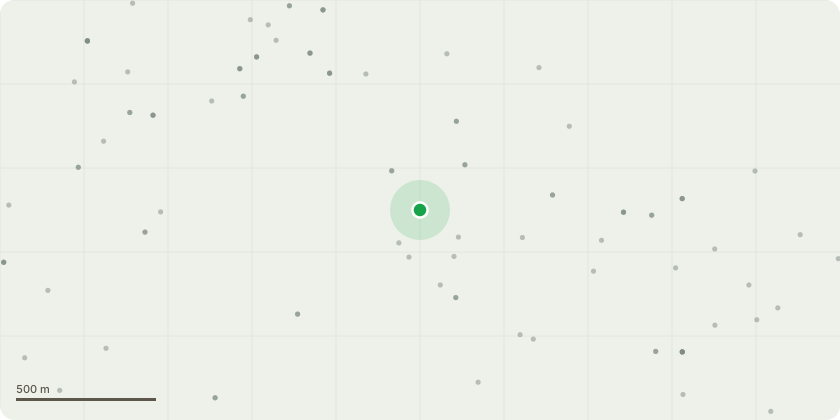
Approximate location
Proposal
Photograph 2& 3 show the Lime tree at far end of garden overhanging Barnwood C of E School car park.Photographs 4 5 & 6 show the tree from the school car park. As you can see it overhangs the school bike shed. I have spoken with the head teacher and she advises that the children are only allowed in that area with a parent and it is currently coned off.Photograph 7, 8 & 9 show the limb that fell from tree during the windy weather on 15 September. This measured 4.5 m with a diameter of 10cm.I am applying to fell the lime tree which has completely outgrown its position. The limb that fell from the tree could have seriously injured a child in the car park of the school had it not fallen into my garden. Smaller branches are falling off the tree daily as you can see from photograph 8 which clearly shows where brances have broken off the large limb that has just broken off.I am very concerned that the tree is unsafe and as we are yet to experience our first storm level winds this year, my worry is that a larger branch breaks off and injures a child.I have had a meeting with the head teacher and she is also concerned and have advised her that I am applying to fell the tree to remove all risk to the children.
Key dates
- Received 16 Oct 2025
- Started 16 Oct 2025
- Decided 16 Oct 2025
Planning history / related applications
No related planning applications have been identified in the current public OGL dataset.
Inside plotEdge
Go beyond the public record
This page is the public OGL record. plotEdge adds the private intelligence layer for this site - open it in the app to unlock:
- Ownership & title Registered owner and title from HM Land Registry.
- Viability & build potential Site scoring and development upside.
- Constraints Flood risk, green belt, conservation areas and designations.
- Approval signal Planning risk and approval-likelihood analysis.
- Comparable applications Decisions on similar nearby sites, side by side.
- Status alerts Get notified the moment this application changes.
Source: public planning application data from Gloucester, reused under the Open Government Licence v3.0. View the council source record. Council documents and drawings are not republished on plotEdge.