Gloucester
Gloucester/24/00724/TPO
54 Church Road Gloucester GL2 0AE
- Reference
- Gloucester/24/00724/TPO
- Authority
- Gloucester
- Application type
- Tree preservation order
- Address
- 54 Church Road Gloucester GL2 0AE
- Postcode
- GL2 0AE
- Status
- Decided
- Decision
- TPO Decision Notice
- Received
- 25 Sept 2024
- Validated
- 26 Sept 2024
- Started
- 26 Sept 2024
- Decided
- 7 Oct 2024
- Source council
- Gloucester
- Council source record
- View public record
- Public data licence
- Open Government Licence v3.0
- Record updated
- 18 Jul 2026
- SEO index generated
- 24 Jul 2026
Location
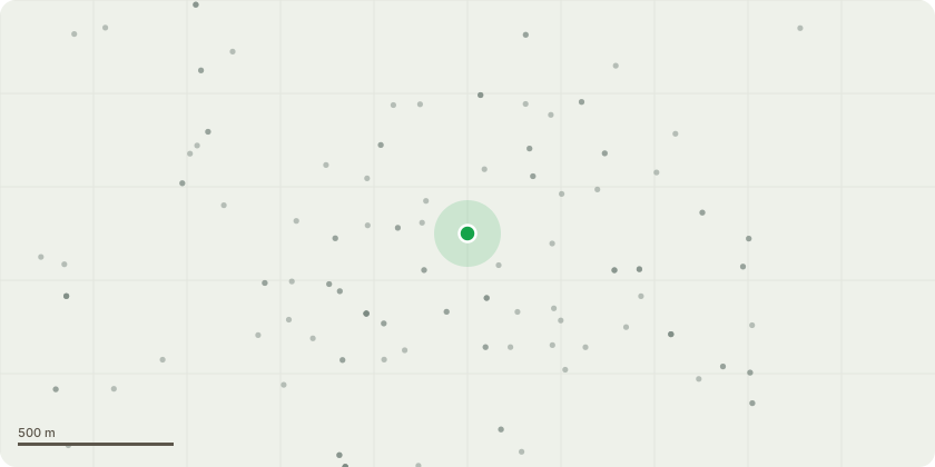
Approximate location
Proposal
T1 European Lime ?Pollard to 6-9m above ground level and remove epicormic growth. The tree bifurcates at 6m, then again at 9m ? a range has been given to allow the tree surgeon to prune to suitable growth points. Reason ? to manage canopy spread near public highway and over driveway.T2: European Lime ? FellReason: Due to the speed of dieback evident on google street view, a soil born fungus is likely. The yellowing leaves and canopy dieback indicates Verticillium Wilt or, due to speed of canopy dieback - Phytophthora Root Rot. Pollarding may be a suitable first step, however the reduced vitality of the tree may not allow its full recovery following pruning works. A replacement tree will be planted in the front garden.
Key dates
- Received 25 Sept 2024
- Validated 26 Sept 2024
- Started 26 Sept 2024
- Decided 7 Oct 2024
Planning history / related applications
No related planning applications have been identified in the current public OGL dataset.
Inside plotEdge
Go beyond the public record
This page is the public OGL record. plotEdge adds the private intelligence layer for this site - open it in the app to unlock:
- Ownership & title Registered owner and title from HM Land Registry.
- Viability & build potential Site scoring and development upside.
- Constraints Flood risk, green belt, conservation areas and designations.
- Approval signal Planning risk and approval-likelihood analysis.
- Comparable applications Decisions on similar nearby sites, side by side.
- Status alerts Get notified the moment this application changes.
Source: public planning application data from Gloucester, reused under the Open Government Licence v3.0. View the council source record. Council documents and drawings are not republished on plotEdge.