Gedling
Gedling/2025/0369
5 Beech Avenue Netherfield Nottinghamshire NG4 2FU
- Reference
- Gedling/2025/0369
- Authority
- Gedling
- Address
- 5 Beech Avenue Netherfield Nottinghamshire NG4 2FU
- Postcode
- NG4 2FU
- Status
- Unknown
- Decision
- Grant Certificate of Lawfulness
- Received
- 12 May 2025
- Validated
- 12 May 2025
- Started
- 12 May 2025
- Decided
- 7 Jul 2025
- Source council
- Gedling
- Council source record
- View public record
- Public data licence
- Open Government Licence v3.0
- Record updated
- 18 Jul 2026
- SEO index generated
- 24 Jul 2026
Location
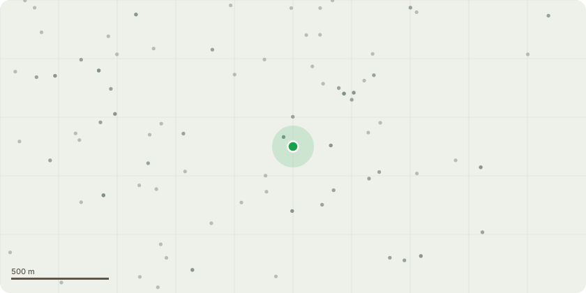
Approximate location
Proposal
The proposal includes a material change of use from a dwellinghouse (Use Class C3) to a small house in multiple occupation (Use Class C4) for occupation by six individual tenants living as separate households. The HMO will comprise six single-occupancy bedrooms, each with private en-suite facilities, with shared kitchen/living/dining space. The use will operate 24/7 as a residential use and will not result in any commercial or industrial activity.The proposed building operations include the construction of a flat-roof single-storey rear extension, a flat-roof rear/side infill extension, and rear dormer roof extension, all finished in materials to match the existing dwelling. The development also includes the installation of a single rooflight in the front roof slope. Internal alterations include reconfiguration of layout, installation of en-suites, removal of chimney breasts, and the addition of a new staircase to access a converted loft. All works are designed to comply with permitted development rights under Classes A, B, and C of Part 1, Schedule 2 of the GPDO 2015 (as amended).
Key dates
- Received 12 May 2025
- Validated 12 May 2025
- Started 12 May 2025
- Decided 7 Jul 2025
Planning history / related applications
No related planning applications have been identified in the current public OGL dataset.
Inside plotEdge
Go beyond the public record
This page is the public OGL record. plotEdge adds the private intelligence layer for this site - open it in the app to unlock:
- Ownership & title Registered owner and title from HM Land Registry.
- Viability & build potential Site scoring and development upside.
- Constraints Flood risk, green belt, conservation areas and designations.
- Approval signal Planning risk and approval-likelihood analysis.
- Comparable applications Decisions on similar nearby sites, side by side.
- Status alerts Get notified the moment this application changes.
Source: public planning application data from Gedling, reused under the Open Government Licence v3.0. View the council source record. Council documents and drawings are not republished on plotEdge.