Exeter
Exeter/26/0679/TPO
Fort Villa 1 Wonford Street Exeter EX2 5HU
- Reference
- Exeter/26/0679/TPO
- Authority
- Exeter
- Application type
- Tree preservation order
- Address
- Fort Villa 1 Wonford Street Exeter EX2 5HU
- Postcode
- EX2 5HU
- Status
- Pending Consideration
- Received
- 11 May 2026
- Started
- 11 May 2026
- Source council
- Exeter
- Council source record
- View public record
- Public data licence
- Open Government Licence v3.0
- Record updated
- 18 Jul 2026
- SEO index generated
- 24 Jul 2026
Location
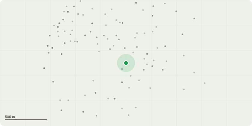
Approximate location
Proposal
Cedar T1 Specification- Reduce the top of the tree back to the previous point at approximately 17m above ground level by removing the 'dog leg' apical stem, using a 150mm maximum cut diameter.- Reduce the sides of the western, northern and eastern crown aspects by up to 2m from 5.5m to approximately 3.5m, using a 60mm maximum cut diameterJustification- There has been notable excavation undertaken within 30cm of the main stem, which includes some root severance- The greatest risk is from the tree uprooting and striking several parked cars; this risk is considered tolerable.- Without seeing the tree before the disturbance, it is difficult to form a confident opinion, on that basis intervention is merited.Holly T3Specification- FellJustification- The base of the northern stem is growing in contact with the pillar of the retaining wall. The wall is pushing out towards the footpath (away from the tree) and there are extensive cracks travelling along the mortar.- Reparation works do not seem merited with the tree in situ.Replacement tree- Planted on the greenspace approx. 4m to the east - 1x bare root (8-10) standard Hornbeam
Key dates
- Received 11 May 2026
- Started 11 May 2026
Planning history / related applications
No related planning applications have been identified in the current public OGL dataset.
Inside plotEdge
Go beyond the public record
This page is the public OGL record. plotEdge adds the private intelligence layer for this site - open it in the app to unlock:
- Ownership & title Registered owner and title from HM Land Registry.
- Viability & build potential Site scoring and development upside.
- Constraints Flood risk, green belt, conservation areas and designations.
- Approval signal Planning risk and approval-likelihood analysis.
- Comparable applications Decisions on similar nearby sites, side by side.
- Status alerts Get notified the moment this application changes.
Source: public planning application data from Exeter, reused under the Open Government Licence v3.0. View the council source record. Council documents and drawings are not republished on plotEdge.