Exeter
Exeter/26/0505/CAT
6 Powderham Crescent Exeter EX4 6DA
- Reference
- Exeter/26/0505/CAT
- Authority
- Exeter
- Application type
- CAT
- Address
- 6 Powderham Crescent Exeter EX4 6DA
- Postcode
- EX4 6DA
- Status
- Permitted
- Decision
- Permitted
- Received
- 6 Apr 2026
- Validated
- 6 Apr 2026
- Started
- 6 Apr 2026
- Decided
- 19 May 2026
- Source council
- Exeter
- Council source record
- View public record
- Public data licence
- Open Government Licence v3.0
- Record updated
- 18 Jul 2026
- SEO index generated
- 24 Jul 2026
Location
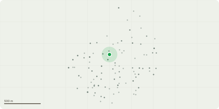
Approximate location
Proposal
T1 Plum tree. This is an old tree around 10 metres tall, in very poor condition. It has lost a couple of branches over the past few years. Its growing at an angle, and although our arborist does not think its an immediate danger, he suggests - in view of the fact that its very close to the boundary - that the top third should be removed in order to reduce any risk. We will also remove the ivy.T2 A dense thicket of self-sown Bay trees. They were cut down some years ago, but are vigorously regrowing and are around 6 metres tall at the highest. We would like them trimmed again to about 2 metres.T3 Yew shaping. This is a fastigiate tree around 9 metres tall, and we would like to restore it to its natural shape. We have tidied the base of the tree over a number of years, clearing out ivy, and the new growth is now over a third of the total height. We would like to continue reshaping it by removing some branches that are splaying outwards so that the tree will form a positive vertical accent in the overall treescape.
Key dates
- Received 6 Apr 2026
- Validated 6 Apr 2026
- Started 6 Apr 2026
- Decided 19 May 2026
Planning history / related applications
No related planning applications have been identified in the current public OGL dataset.
Inside plotEdge
Go beyond the public record
This page is the public OGL record. plotEdge adds the private intelligence layer for this site - open it in the app to unlock:
- Ownership & title Registered owner and title from HM Land Registry.
- Viability & build potential Site scoring and development upside.
- Constraints Flood risk, green belt, conservation areas and designations.
- Approval signal Planning risk and approval-likelihood analysis.
- Comparable applications Decisions on similar nearby sites, side by side.
- Status alerts Get notified the moment this application changes.
Source: public planning application data from Exeter, reused under the Open Government Licence v3.0. View the council source record. Council documents and drawings are not republished on plotEdge.