Exeter
Exeter/26/0384/CAT
33 Matford Avenue Exeter EX2 4PL
- Reference
- Exeter/26/0384/CAT
- Authority
- Exeter
- Application type
- CAT
- Address
- 33 Matford Avenue Exeter EX2 4PL
- Postcode
- EX2 4PL
- Status
- Permitted
- Decision
- Permitted
- Received
- 17 Mar 2026
- Validated
- 17 Mar 2026
- Started
- 17 Mar 2026
- Decided
- 13 Apr 2026
- Source council
- Exeter
- Council source record
- View public record
- Public data licence
- Open Government Licence v3.0
- Record updated
- 18 Jul 2026
- SEO index generated
- 24 Jul 2026
Location
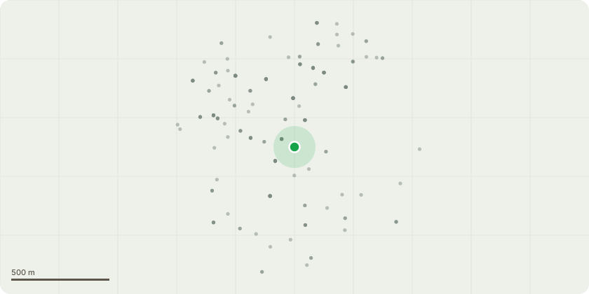
Approximate location
Proposal
There is a very tall evergreen Oak growing with an equally tall pittosporum on our boundary by the driveway entrance. Historically there has been no management of the oak and I now sits across Matford Road. If is caught by high vans. We had a skip delivered recently (a small one on a small skip lorry). Delivery was fine, but the collection lorry snared itself and tore off one of the lower branches. My carpenter had to saw the branch off where it had snapped. We would like to use Neil Bygrave to bring it into a better shape and away from the traffic height. His quotation states these works:-To lift the crowns of one Drive Mouth Ilex Oak and Pittosporum by 3m to reduce Pavement, Road overhang andallowing lorry access to Property Parking. This would be achieved by the removal of 6 lowest Ilex branches and3 lowest Pittosporum branches. Prune Ilex branch ends to allow 1m gap with Phone Line.All debris from work done disposed of off site. We agreed parking on Drive for Truck and connected Chipper.
Key dates
- Received 17 Mar 2026
- Validated 17 Mar 2026
- Started 17 Mar 2026
- Decided 13 Apr 2026
Planning history / related applications
No related planning applications have been identified in the current public OGL dataset.
Inside plotEdge
Go beyond the public record
This page is the public OGL record. plotEdge adds the private intelligence layer for this site - open it in the app to unlock:
- Ownership & title Registered owner and title from HM Land Registry.
- Viability & build potential Site scoring and development upside.
- Constraints Flood risk, green belt, conservation areas and designations.
- Approval signal Planning risk and approval-likelihood analysis.
- Comparable applications Decisions on similar nearby sites, side by side.
- Status alerts Get notified the moment this application changes.
Source: public planning application data from Exeter, reused under the Open Government Licence v3.0. View the council source record. Council documents and drawings are not republished on plotEdge.