Exeter
Exeter/26/0293/CAT
36 Ide Lane Alphington Exeter EX2 8UT
- Reference
- Exeter/26/0293/CAT
- Authority
- Exeter
- Application type
- CAT
- Address
- 36 Ide Lane Alphington Exeter EX2 8UT
- Postcode
- EX2 8UT
- Status
- Permitted
- Decision
- Permitted
- Received
- 2 Mar 2026
- Validated
- 2 Mar 2026
- Started
- 2 Mar 2026
- Decided
- 8 Apr 2026
- Source council
- Exeter
- Council source record
- View public record
- Public data licence
- Open Government Licence v3.0
- Record updated
- 18 Jul 2026
- SEO index generated
- 24 Jul 2026
Location
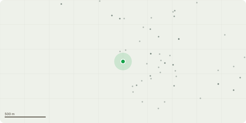
Approximate location
Proposal
Based on advice of a professional arborist (Wild Service Tree Care), the following work has been identified as necessary for the holistic welfare of the property and garden of 36 Ide Lane:A. Removal of one Sliver Birch. The tree is separate from the main canopy of the garden, and is failing to fluorish. The tree?s health is significantly impeded by the proximity of thick laurel.B. Reduction in height of Norwegian Maple by up to 5m. Tree will be sympathetically trimmed to protect the integrity of both the tree and the property. The maple does have a lean towards the thatched house, which is within easy reach of the full length of the tree. Reduction will reduce excessive canopy and temper the threat from extreme prevalent winds, especially when the tree is in full leaf.C. Reduction in height of one willow tree by up to 5m. Early maintenance is recommended to enhance the longer term health of the tree. The concern is exacerbated by a major natural split near the base of the main trunk (as shown in supporting photographs).
Key dates
- Received 2 Mar 2026
- Validated 2 Mar 2026
- Started 2 Mar 2026
- Decided 8 Apr 2026
Planning history / related applications
No related planning applications have been identified in the current public OGL dataset.
Inside plotEdge
Go beyond the public record
This page is the public OGL record. plotEdge adds the private intelligence layer for this site - open it in the app to unlock:
- Ownership & title Registered owner and title from HM Land Registry.
- Viability & build potential Site scoring and development upside.
- Constraints Flood risk, green belt, conservation areas and designations.
- Approval signal Planning risk and approval-likelihood analysis.
- Comparable applications Decisions on similar nearby sites, side by side.
- Status alerts Get notified the moment this application changes.
Source: public planning application data from Exeter, reused under the Open Government Licence v3.0. View the council source record. Council documents and drawings are not republished on plotEdge.