Exeter
Exeter/25/1705/TPO
North Wing The Hermitage 20 Exwick Hill Exeter EX4 2AQ
- Reference
- Exeter/25/1705/TPO
- Authority
- Exeter
- Application type
- Tree preservation order
- Address
- North Wing The Hermitage 20 Exwick Hill Exeter EX4 2AQ
- Postcode
- EX4 2AQ
- Status
- Permitted
- Decision
- Permitted
- Received
- 29 Nov 2025
- Validated
- 29 Nov 2025
- Started
- 29 Nov 2025
- Decided
- 2 Feb 2026
- Source council
- Exeter
- Council source record
- View public record
- Public data licence
- Open Government Licence v3.0
- Record updated
- 18 Jul 2026
- SEO index generated
- 24 Jul 2026
Location
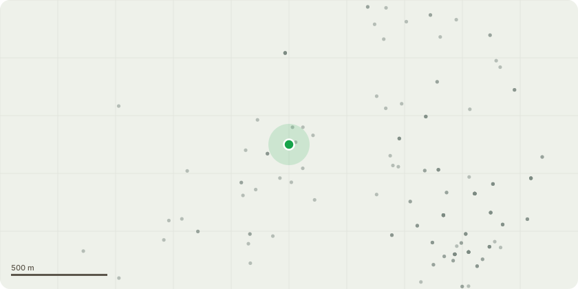
Approximate location
Proposal
This application relates to the Ash trees on the Rackfield allotments site which are adjacent to my property. Please see the attached location sketch (Ash_trees_location_Nov2025.jpg) These trees are overhanging my property, including an expensive summerhouse. The trees often shed branches which fall in to my garden. I am seeking permission to reduce the overhanging branches by 50%. In principle, the work should be carried out by the City Council, but I am assuming that there are no funds available for this work. As a result, I am reluctantly prepared to pay for this work. I intend to employ Greentrees Arboricultural Service Ltd to carry out the work. We have used this company regularly for nearly 30 years.A photograph of the branches is attached (Planning1.jpg)Additional information, as requested. There are two large branches of about 5 metres in length and the application is to allow these to be reduced to about 2.5 metres. In addition, there are two smaller branches of about 3 metred in length and the application is to allow these to be reduced to about 1.5 metres. It is difficult to be more specific about the work, as photographs are of limited use. If more detail of the work is required, I would like to respectfully suggest a 10-minute site meeting with one of the conservation/tree team.
Key dates
- Received 29 Nov 2025
- Validated 29 Nov 2025
- Started 29 Nov 2025
- Decided 2 Feb 2026
Planning history / related applications
No related planning applications have been identified in the current public OGL dataset.
Inside plotEdge
Go beyond the public record
This page is the public OGL record. plotEdge adds the private intelligence layer for this site - open it in the app to unlock:
- Ownership & title Registered owner and title from HM Land Registry.
- Viability & build potential Site scoring and development upside.
- Constraints Flood risk, green belt, conservation areas and designations.
- Approval signal Planning risk and approval-likelihood analysis.
- Comparable applications Decisions on similar nearby sites, side by side.
- Status alerts Get notified the moment this application changes.
Source: public planning application data from Exeter, reused under the Open Government Licence v3.0. View the council source record. Council documents and drawings are not republished on plotEdge.