Exeter
Exeter/25/1449/CAT
1 Manston Terrace Exeter EX2 4NP
- Reference
- Exeter/25/1449/CAT
- Authority
- Exeter
- Application type
- CAT
- Address
- 1 Manston Terrace Exeter EX2 4NP
- Postcode
- EX2 4NP
- Status
- Permitted
- Decision
- Permitted
- Received
- 17 Oct 2025
- Validated
- 17 Oct 2025
- Started
- 17 Oct 2025
- Decided
- 1 Dec 2025
- Source council
- Exeter
- Council source record
- View public record
- Public data licence
- Open Government Licence v3.0
- Record updated
- 18 Jul 2026
- SEO index generated
- 24 Jul 2026
Location
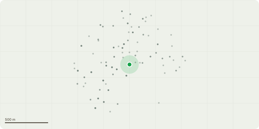
Approximate location
Proposal
T2 Holm Oak (8m high) & T3 Pittosporum (5m): Reduce overhang back to the boundary - remove 1m of lateral spread south side.T4 Temu/Chilean Myrtle (10m) : Remove 2 x 2.5m high stubs next to boundary, on one stem (120 diameter). Retain remaining stems. T6 Smoke Tree (6m): Remove western subsiding, over-extended limb growing towards the house, pruning back to main stem. T405 Bay Laurel (5m): Remove to provide space for adjacent cypress.T406 Prunus Species (5m), G407 Holm Oak x 2 (4m), T408 Bay Laurel (5m), T409 & T410 Apples (3m): Remove, against wall.T411, T412, T413, T414, T417 Holm Oaks (6m) & T415 Cherry Laurel (6m): Remove to thin out dense tree population in garden & prioritise other trees.T416 Unidentified (6m): Remove as dead.T418 Bay Laurel (12): Remove ? base of trunk is 150mm from corner of house. This is a renewal of an expired consent from 2023 that was only partially implemented.T419 Fig (4m): Remove. Resting on wall. See accompanying report and plan.
Key dates
- Received 17 Oct 2025
- Validated 17 Oct 2025
- Started 17 Oct 2025
- Decided 1 Dec 2025
Planning history / related applications
No related planning applications have been identified in the current public OGL dataset.
Inside plotEdge
Go beyond the public record
This page is the public OGL record. plotEdge adds the private intelligence layer for this site - open it in the app to unlock:
- Ownership & title Registered owner and title from HM Land Registry.
- Viability & build potential Site scoring and development upside.
- Constraints Flood risk, green belt, conservation areas and designations.
- Approval signal Planning risk and approval-likelihood analysis.
- Comparable applications Decisions on similar nearby sites, side by side.
- Status alerts Get notified the moment this application changes.
Source: public planning application data from Exeter, reused under the Open Government Licence v3.0. View the council source record. Council documents and drawings are not republished on plotEdge.