Exeter
Exeter/25/1442/CAT
8 St Leonards Road Exeter EX2 4LA
- Reference
- Exeter/25/1442/CAT
- Authority
- Exeter
- Application type
- CAT
- Address
- 8 St Leonards Road Exeter EX2 4LA
- Postcode
- EX2 4LA
- Status
- Withdrawn
- Decision
- Withdrawn by Applicant
- Received
- 15 Oct 2025
- Validated
- 15 Oct 2025
- Started
- 15 Oct 2025
- Decided
- 29 Oct 2025
- Source council
- Exeter
- Council source record
- View public record
- Public data licence
- Open Government Licence v3.0
- Record updated
- 18 Jul 2026
- SEO index generated
- 24 Jul 2026
Location
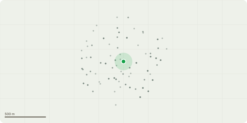
Approximate location
Proposal
Consent is requested for works to cut back the Magnolia tree marked on the plan. Prior to works (with permission) carried out to the Yew Tree which is subject to a TPO, this tree was forced to grow in a very lopsidded manner (see photos provided). This tree sits near the right hand side boundary fence with No 10 and has become rather large given its location. We with to cut it back by a maximun if 2.5m on the advice of the contractors we used to cut back the Yew Tree. This is to allow it to grow in a more balanced way and to remove over crowded branches. We expect this will help with the health and aeastghetic of this tree. Consent has previoulsy been obtained to cut back Magnolia trees located within the boundary of our other neighbours at no 6. We would emply suitable contractors to carry out this work at an appropriate time of the year.
Key dates
- Received 15 Oct 2025
- Validated 15 Oct 2025
- Started 15 Oct 2025
- Decided 29 Oct 2025
Planning history / related applications
No related planning applications have been identified in the current public OGL dataset.
Inside plotEdge
Go beyond the public record
This page is the public OGL record. plotEdge adds the private intelligence layer for this site - open it in the app to unlock:
- Ownership & title Registered owner and title from HM Land Registry.
- Viability & build potential Site scoring and development upside.
- Constraints Flood risk, green belt, conservation areas and designations.
- Approval signal Planning risk and approval-likelihood analysis.
- Comparable applications Decisions on similar nearby sites, side by side.
- Status alerts Get notified the moment this application changes.
Source: public planning application data from Exeter, reused under the Open Government Licence v3.0. View the council source record. Council documents and drawings are not republished on plotEdge.