Exeter
Exeter/25/1410/CAT
Church Of The Holy Cross 17 Station Road Topsham EX3 0EE
- Reference
- Exeter/25/1410/CAT
- Authority
- Exeter
- Application type
- CAT
- Address
- Church Of The Holy Cross 17 Station Road Topsham EX3 0EE
- Postcode
- EX3 0EE
- Status
- Permitted
- Decision
- Permitted
- Received
- 9 Oct 2025
- Validated
- 9 Oct 2025
- Started
- 9 Oct 2025
- Decided
- 6 Nov 2025
- Source council
- Exeter
- Council source record
- View public record
- Public data licence
- Open Government Licence v3.0
- Record updated
- 18 Jul 2026
- SEO index generated
- 24 Jul 2026
Location
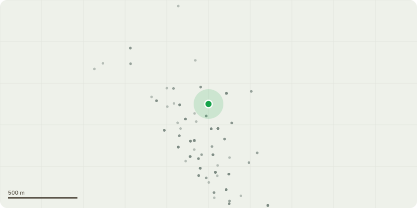
Approximate location
Proposal
Sketch planT002- Eucalyptus- FellT003- Elm x5- Fell stemsG005- English Elm and Holly- Fell elm and fell holly down T006- Horse chestnut- Maintain minimum 1m clearance from building crown lift all lower branches remove waste. Small branches only no cuts over 3 inches to be included in the crown lifting T007- Common Ash- Crown raise for 3m clearance over carpark and garden back to fence line. T9- Yew- Cut to ground and chip up stump removedT10- Hazel- Reduce to 6 foot and chip brashT11- Hazel- Reduce to 6 foot and chip brashT12- Holly - Reduce to 12 foot, Trim back face of holly T13- Yew- Crown lift to up to 3 metres T14- Hazel- cut to groundT15- Laurel - Reduce to 8 foot remove all waste. Cut single hazel to ground. Trim back road side face of laurel including privetT16- Olive tree - Crown Reduction - Reducing the height and spread of the tree by up to 0.5 metres back to pruning points. T16- Bay- Reduce to 8 foot and chip waste trim face T17 - Birch- Crown Lift to provide 8 feet clearance from ground level Birch
Key dates
- Received 9 Oct 2025
- Validated 9 Oct 2025
- Started 9 Oct 2025
- Decided 6 Nov 2025
Planning history / related applications
No related planning applications have been identified in the current public OGL dataset.
Inside plotEdge
Go beyond the public record
This page is the public OGL record. plotEdge adds the private intelligence layer for this site - open it in the app to unlock:
- Ownership & title Registered owner and title from HM Land Registry.
- Viability & build potential Site scoring and development upside.
- Constraints Flood risk, green belt, conservation areas and designations.
- Approval signal Planning risk and approval-likelihood analysis.
- Comparable applications Decisions on similar nearby sites, side by side.
- Status alerts Get notified the moment this application changes.
Source: public planning application data from Exeter, reused under the Open Government Licence v3.0. View the council source record. Council documents and drawings are not republished on plotEdge.