Exeter
Exeter/25/1193/CAT
Underwood Cottage Balls Farm Road Ide Exeter EX2 9RA
- Reference
- Exeter/25/1193/CAT
- Authority
- Exeter
- Application type
- CAT
- Address
- Underwood Cottage Balls Farm Road Ide Exeter EX2 9RA
- Postcode
- EX2 9RA
- Status
- Permitted
- Decision
- Permitted
- Received
- 2 Sept 2025
- Validated
- 2 Sept 2025
- Started
- 2 Sept 2025
- Decided
- 8 Sept 2025
- Source council
- Exeter
- Council source record
- View public record
- Public data licence
- Open Government Licence v3.0
- Record updated
- 18 Jul 2026
- SEO index generated
- 24 Jul 2026
Location
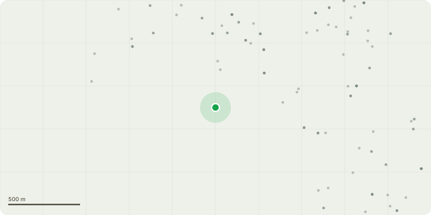
Approximate location
Proposal
Requesting a full dismantle and removal of a Quercus Robur within the property, with urgency. As causing structure issues to a grade 2 listed cottage. The Quercus is fairly mature, with a very gradual lean towards underwood cottage which is a grade 2 listed building. The canopy is now within a very close proximity of the building, this however is not the main concern. The Quercus has grown in a very tight space between a listed cob wall, outbuilding and a grade 2 listed cottage to the rear. The Quercus is causing significant issues to the foundations of the main rear wall on the grade 2 listed cottage. The cottage is occupied by a 92year old house bound man. A builder has visited the property and spoken to Mr.Castle (underwood cottage) and owner of the Quercus Robur. The root plate has caused structure issues the the main supporting pillars and foundation to the grade 2 listed building. The supporting pillars hold up the rear of the house. The build has huge concerns and has ackro propped the walls to add support. But no work can be under taken whilst the Quercus in place as it will keep causing issues with its root plate. Pictures of the supporting wall have be added to the supporting documents. The Quercus is also moving a listed cob wall, which has been re-pointed multiple times but almost to a point where repairs won't be possible.
Key dates
- Received 2 Sept 2025
- Validated 2 Sept 2025
- Started 2 Sept 2025
- Decided 8 Sept 2025
Planning history / related applications
No related planning applications have been identified in the current public OGL dataset.
Inside plotEdge
Go beyond the public record
This page is the public OGL record. plotEdge adds the private intelligence layer for this site - open it in the app to unlock:
- Ownership & title Registered owner and title from HM Land Registry.
- Viability & build potential Site scoring and development upside.
- Constraints Flood risk, green belt, conservation areas and designations.
- Approval signal Planning risk and approval-likelihood analysis.
- Comparable applications Decisions on similar nearby sites, side by side.
- Status alerts Get notified the moment this application changes.
Source: public planning application data from Exeter, reused under the Open Government Licence v3.0. View the council source record. Council documents and drawings are not republished on plotEdge.