Exeter
Exeter/25/1129/TPO
71 Mulligan Drive Exeter EX2 7SJ
- Reference
- Exeter/25/1129/TPO
- Authority
- Exeter
- Application type
- Tree preservation order
- Address
- 71 Mulligan Drive Exeter EX2 7SJ
- Postcode
- EX2 7SJ
- Status
- Decided
- Decision
- Split Decision
- Received
- 19 Aug 2025
- Validated
- 19 Aug 2025
- Started
- 19 Aug 2025
- Decided
- 3 Oct 2025
- Source council
- Exeter
- Council source record
- View public record
- Public data licence
- Open Government Licence v3.0
- Record updated
- 18 Jul 2026
- SEO index generated
- 24 Jul 2026
Location
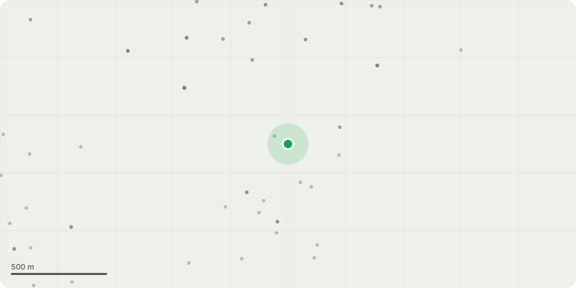
Approximate location
Proposal
The two trees pertaining to this application form part of a bank of trees and bushes lining Old Rydon Close and are situated immediately behind the rear boundary fence of 71 Mulligan Drive.The tree types are: 1x Oak, (marked #1 on plan),1x Sycamore (marked #2 on plan)The application is for work to prune back the length of branches on the side of 71 Mulligan Drive, back to the boundary line for the purposes of:- reducing the canopy and increasing the light into the garden of 71 Mulligan Drive, enhancing garden amenity and reducing the growth of lichen and algae- reducing the significant volume of debris from the trees into the garden i.e. leaves, dead wood, acorns, samaras etc and also bird droppings- avoiding potential damage to buildings (sycamore branches are now touching the garage and the oak tree is growing very close to the propertyA specialist tree surgery contractor is being engaged and they confirm they have all the relevant qualifications and insurances in place to carry out such work.
Key dates
- Received 19 Aug 2025
- Validated 19 Aug 2025
- Started 19 Aug 2025
- Decided 3 Oct 2025
Planning history / related applications
No related planning applications have been identified in the current public OGL dataset.
Inside plotEdge
Go beyond the public record
This page is the public OGL record. plotEdge adds the private intelligence layer for this site - open it in the app to unlock:
- Ownership & title Registered owner and title from HM Land Registry.
- Viability & build potential Site scoring and development upside.
- Constraints Flood risk, green belt, conservation areas and designations.
- Approval signal Planning risk and approval-likelihood analysis.
- Comparable applications Decisions on similar nearby sites, side by side.
- Status alerts Get notified the moment this application changes.
Source: public planning application data from Exeter, reused under the Open Government Licence v3.0. View the council source record. Council documents and drawings are not republished on plotEdge.