Exeter
Exeter/25/1040/TPO
17 Willsdown Road Exeter EX2 8XA
- Reference
- Exeter/25/1040/TPO
- Authority
- Exeter
- Application type
- Tree preservation order
- Address
- 17 Willsdown Road Exeter EX2 8XA
- Postcode
- EX2 8XA
- Status
- Permitted
- Decision
- Permitted
- Received
- 1 Aug 2025
- Validated
- 1 Aug 2025
- Started
- 1 Aug 2025
- Decided
- 6 Sept 2025
- Source council
- Exeter
- Council source record
- View public record
- Public data licence
- Open Government Licence v3.0
- Record updated
- 18 Jul 2026
- SEO index generated
- 24 Jul 2026
Location
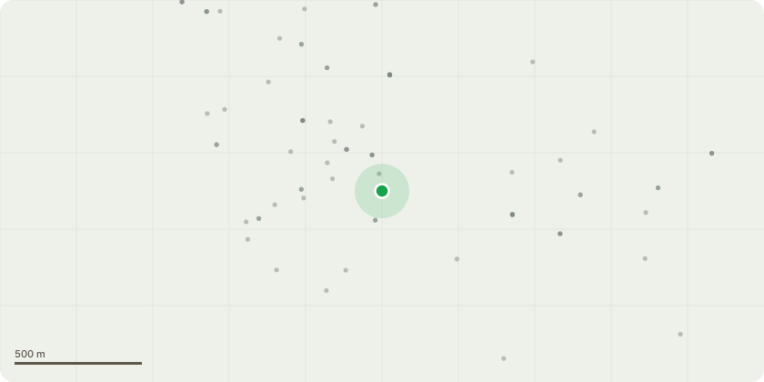
Approximate location
Proposal
Tree species: Holm oak - T3 in preservation order (TPO 439) (Doc 2) and T3 on the sketch plan (Doc 3).Proposed worksThe tree has grown significantly and now exceeds the safe limit for its location. The arborist has identified a significant structural defect caused by Ganoderma decay fungus emerging from the main load-bearing component. The tree also has a long-standing weakened bifurcation and stands in close proximity to residential property. On this basis, our arborist has recommended pollarding to reduce the risk of structural failure and to manage the long-term health and safety of the tree. (For a detailed assessment and supporting photos, please see Doc 1 - Doug Pratt arborist assessment).Arborist recommends the holm oak is reduced to circa 7/8 metres and crown lifted to 3.5 metres above ground level, as applied previously. (fyi: The same work was approved and undertaken approx 10 years ago.)
Key dates
- Received 1 Aug 2025
- Validated 1 Aug 2025
- Started 1 Aug 2025
- Decided 6 Sept 2025
Planning history / related applications
No related planning applications have been identified in the current public OGL dataset.
Inside plotEdge
Go beyond the public record
This page is the public OGL record. plotEdge adds the private intelligence layer for this site - open it in the app to unlock:
- Ownership & title Registered owner and title from HM Land Registry.
- Viability & build potential Site scoring and development upside.
- Constraints Flood risk, green belt, conservation areas and designations.
- Approval signal Planning risk and approval-likelihood analysis.
- Comparable applications Decisions on similar nearby sites, side by side.
- Status alerts Get notified the moment this application changes.
Source: public planning application data from Exeter, reused under the Open Government Licence v3.0. View the council source record. Council documents and drawings are not republished on plotEdge.