Exeter
Exeter/25/0867/TPO
69 Oxford Road Exeter EX4 6QX
- Reference
- Exeter/25/0867/TPO
- Authority
- Exeter
- Application type
- Tree preservation order
- Address
- 69 Oxford Road Exeter EX4 6QX
- Postcode
- EX4 6QX
- Status
- Permitted
- Decision
- Permitted
- Received
- 2 Jul 2025
- Validated
- 2 Jul 2025
- Started
- 2 Jul 2025
- Decided
- 22 Aug 2025
- Source council
- Exeter
- Council source record
- View public record
- Public data licence
- Open Government Licence v3.0
- Record updated
- 18 Jul 2026
- SEO index generated
- 24 Jul 2026
Location
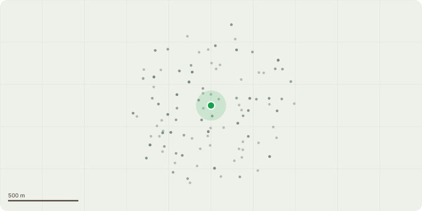
Approximate location
Proposal
TPO 501 lime tree, sitting on the boundary between 69 Oxford Road, and property 15 St James Road, (which is the property in which the tree is registered). Reduce the height by 20% and also trim back the branch overhanging garden of 69 Oxford Road.The tree had work done in December 2019, reducing the height by 20% and taking an overhanging limb off. I was extremely pleased with the work as the shape of the tree afterwards was fantastic, and re-shaped from a terrible earlier job which left a L shaped chunk out of one side (this wasn't work I had commissioned.) Since then the tree has grown hugely again and needs similar work to reduce the height by 20% and also trim back the branch overhang of my garden, which is now almost the whole width and inhibits rainfall on my garden vegetable area. The tree surgeon has visited, given me his professional opinion and a quote for the work - he said that the re-growth formed from the previous pruning is inherently weaker than established branches, and can fail in strong winds - which is a concern as the south westerlies can be really strong and the tree is very close to Well Street, along with my own property, garage, shed etc.
Key dates
- Received 2 Jul 2025
- Validated 2 Jul 2025
- Started 2 Jul 2025
- Decided 22 Aug 2025
Planning history / related applications
No related planning applications have been identified in the current public OGL dataset.
Inside plotEdge
Go beyond the public record
This page is the public OGL record. plotEdge adds the private intelligence layer for this site - open it in the app to unlock:
- Ownership & title Registered owner and title from HM Land Registry.
- Viability & build potential Site scoring and development upside.
- Constraints Flood risk, green belt, conservation areas and designations.
- Approval signal Planning risk and approval-likelihood analysis.
- Comparable applications Decisions on similar nearby sites, side by side.
- Status alerts Get notified the moment this application changes.
Source: public planning application data from Exeter, reused under the Open Government Licence v3.0. View the council source record. Council documents and drawings are not republished on plotEdge.