Exeter
Exeter/25/0860/TPO
Glencoe Lyndhurst Road Exeter EX2 4PA
- Reference
- Exeter/25/0860/TPO
- Authority
- Exeter
- Application type
- Tree preservation order
- Address
- Glencoe Lyndhurst Road Exeter EX2 4PA
- Postcode
- EX2 4PA
- Status
- Decided
- Decision
- Split Decision
- Received
- 1 Jul 2025
- Validated
- 1 Jul 2025
- Started
- 1 Jul 2025
- Decided
- 20 Aug 2025
- Source council
- Exeter
- Council source record
- View public record
- Public data licence
- Open Government Licence v3.0
- Record updated
- 18 Jul 2026
- SEO index generated
- 24 Jul 2026
Location
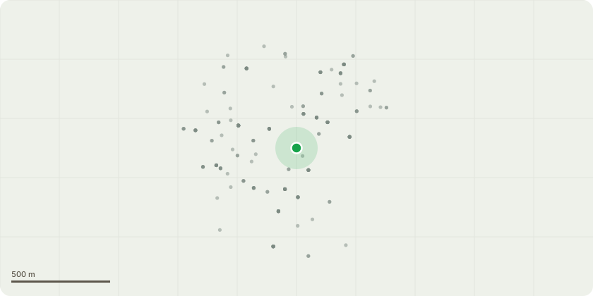
Approximate location
Proposal
T1 - Lawson cypress: Reduce in height by 4metres. Top cuts will be 6-8 inch diameter.Reasons - Evidence in the form of an attached photo demonstrating that the three main stems are co-dominant. The resulting inclusions will lead in lateral forces (through girth expansion) undermining the unions to a point where failure of stem/s is likely in the future. The proposed reduction will alleviate this risk (taking weight from the crown), although it may be necessary in the future to make a separate application for the removal of the central stem.T2 - Beech: Prune back one lateral branch (arising at 5metres on the main stem, and growing towards the building as per the attached photo) by 1.5 metres. Crown lift the lower growth growing over the bedding areas and lawn by 1.5 metres. Nothing overhanging the rear property will be pruned.- Max cut size of 2 inch diameter. Third order growth only to be pruned.Reasons - to increase light to the beds by carrying out minor pruning ie without adversely affecting the vigour of the tree, and keeping cut size to a minimum to reduce the risk of pathogens invading wounds.
Key dates
- Received 1 Jul 2025
- Validated 1 Jul 2025
- Started 1 Jul 2025
- Decided 20 Aug 2025
Planning history / related applications
No related planning applications have been identified in the current public OGL dataset.
Inside plotEdge
Go beyond the public record
This page is the public OGL record. plotEdge adds the private intelligence layer for this site - open it in the app to unlock:
- Ownership & title Registered owner and title from HM Land Registry.
- Viability & build potential Site scoring and development upside.
- Constraints Flood risk, green belt, conservation areas and designations.
- Approval signal Planning risk and approval-likelihood analysis.
- Comparable applications Decisions on similar nearby sites, side by side.
- Status alerts Get notified the moment this application changes.
Source: public planning application data from Exeter, reused under the Open Government Licence v3.0. View the council source record. Council documents and drawings are not republished on plotEdge.