Exeter
Exeter/25/0572/CAT
96 Old Tiverton Road Exeter EX4 6LD
- Reference
- Exeter/25/0572/CAT
- Authority
- Exeter
- Application type
- CAT
- Address
- 96 Old Tiverton Road Exeter EX4 6LD
- Postcode
- EX4 6LD
- Status
- Refused
- Decision
- Refuse Planning Permission
- Received
- 12 May 2025
- Validated
- 12 May 2025
- Started
- 12 May 2025
- Decided
- 27 Jun 2025
- Source council
- Exeter
- Council source record
- View public record
- Public data licence
- Open Government Licence v3.0
- Record updated
- 18 Jul 2026
- SEO index generated
- 24 Jul 2026
Location
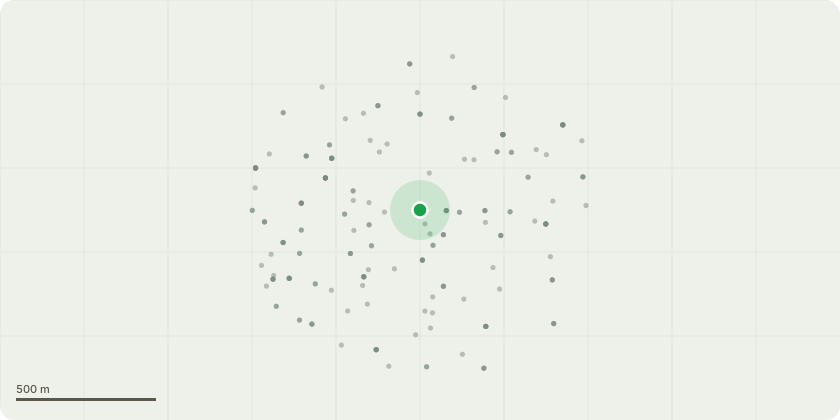
Approximate location
Proposal
Removal of the rear elevation tree and crown reduction of the trees to the front.It is proposed to completely remove a Silver Birch tree as highlighted in red in the sketch plan due to structural damage to the property. The Tree is located to the rear left hand side corner of the property- immediately next to the single storey rear lean to extension. There has been recent notable structural movement within the property, including significant damage to drains and cracking to various internal walls. The tree is also causing notable damage to the garden boundary/ retaining wall as shown on the aerial photo. The tree is in close proximity to the house and is without question at least contributing to (most likely causing) the structural movement observed. In addition, it is proposed to crown the two Silver Birch trees to the front elevation (see sketch plan) and reduce by at least two metres. Although movement within the property is current less pronounced, cracking across the ceilings to both of the front road facing lower floor rooms suggests that these trees are also likely to cause more significant damage over the coming years. The engineer has not surveyed this area and this is the opinion of the Chartered Building Surveyor (applicant).
Key dates
- Received 12 May 2025
- Validated 12 May 2025
- Started 12 May 2025
- Decided 27 Jun 2025
Planning history / related applications
No related planning applications have been identified in the current public OGL dataset.
Inside plotEdge
Go beyond the public record
This page is the public OGL record. plotEdge adds the private intelligence layer for this site - open it in the app to unlock:
- Ownership & title Registered owner and title from HM Land Registry.
- Viability & build potential Site scoring and development upside.
- Constraints Flood risk, green belt, conservation areas and designations.
- Approval signal Planning risk and approval-likelihood analysis.
- Comparable applications Decisions on similar nearby sites, side by side.
- Status alerts Get notified the moment this application changes.
Source: public planning application data from Exeter, reused under the Open Government Licence v3.0. View the council source record. Council documents and drawings are not republished on plotEdge.