Exeter
Exeter/25/0418/CAT
Gairloch Hensleigh Drive Exeter EX2 4NZ
- Reference
- Exeter/25/0418/CAT
- Authority
- Exeter
- Application type
- CAT
- Address
- Gairloch Hensleigh Drive Exeter EX2 4NZ
- Postcode
- EX2 4NZ
- Status
- Permitted
- Decision
- Permitted
- Received
- 3 Apr 2025
- Validated
- 3 Apr 2025
- Started
- 3 Apr 2025
- Decided
- 30 Apr 2025
- Source council
- Exeter
- Council source record
- View public record
- Public data licence
- Open Government Licence v3.0
- Record updated
- 18 Jul 2026
- SEO index generated
- 24 Jul 2026
Location
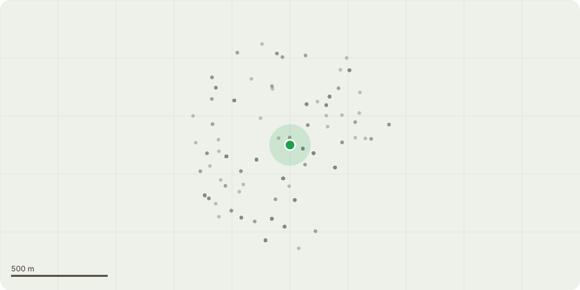
Approximate location
Proposal
Tree Works Notification Conservation AreaProperty: Gairloch, Hensleigh Drive, Exeter, EX2 4NZTree Reference: T1 Mature Yew (Taxus baccata)Proposed Works:Crown reduction to manage the size and shape of the tree in keeping with its location within a residential setting.Reduce the overall height of the tree by approximately 2.0 metres, resulting in a final height of approximately 3.5 metres. Reduce the radial spread of the canopy by approximately 2.0 metres, leaving a final crown spread of approximately 3.0 metres in all directions. All pruning cuts to be made to appropriate secondary growth points to retain natural form and ensure good future growth structure. All pruning wounds will not exceed 40 mm in diameter to promote healthy wound closure and reduce the risk of pathogen entry. All arisings to be removed from site and returned to the Devon Tree Services depot for recycling. The site will be left in a clean, tidy, and safe condition upon completion.Reason for Work:To maintain the tree at a manageable size appropriate for its location, while preserving its health and amenity value.Improve light levels into the property & garden area
Key dates
- Received 3 Apr 2025
- Validated 3 Apr 2025
- Started 3 Apr 2025
- Decided 30 Apr 2025
Planning history / related applications
No related planning applications have been identified in the current public OGL dataset.
Inside plotEdge
Go beyond the public record
This page is the public OGL record. plotEdge adds the private intelligence layer for this site - open it in the app to unlock:
- Ownership & title Registered owner and title from HM Land Registry.
- Viability & build potential Site scoring and development upside.
- Constraints Flood risk, green belt, conservation areas and designations.
- Approval signal Planning risk and approval-likelihood analysis.
- Comparable applications Decisions on similar nearby sites, side by side.
- Status alerts Get notified the moment this application changes.
Source: public planning application data from Exeter, reused under the Open Government Licence v3.0. View the council source record. Council documents and drawings are not republished on plotEdge.