Exeter
Exeter/25/0313/TPO
11 Clyst Heath Exeter EX2 7TA
- Reference
- Exeter/25/0313/TPO
- Authority
- Exeter
- Application type
- Tree preservation order
- Address
- 11 Clyst Heath Exeter EX2 7TA
- Postcode
- EX2 7TA
- Status
- Permitted
- Decision
- Permitted
- Received
- 18 Mar 2025
- Validated
- 18 Mar 2025
- Started
- 18 Mar 2025
- Decided
- 30 Apr 2025
- Source council
- Exeter
- Council source record
- View public record
- Public data licence
- Open Government Licence v3.0
- Record updated
- 18 Jul 2026
- SEO index generated
- 24 Jul 2026
Location
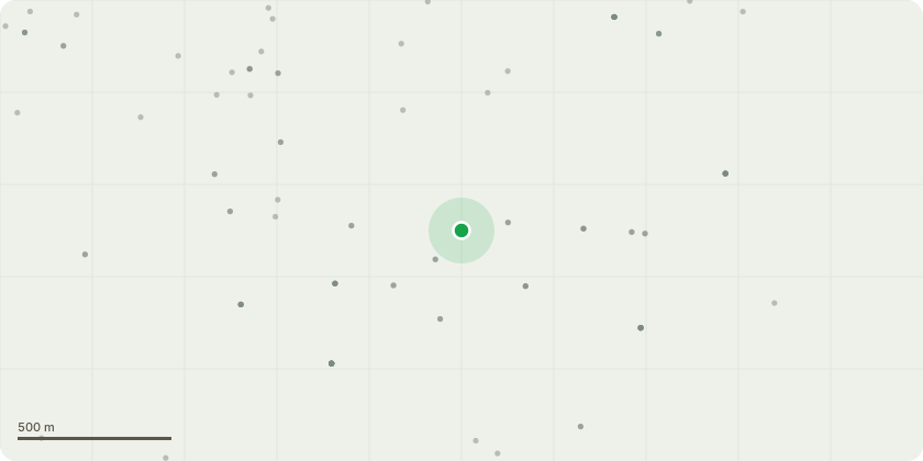
Approximate location
Proposal
T1 - Corsican Pine (Tag 812)Suggested Works: Reduce south eastern aspect by up to 2 metres, Maximum Diameter of Cuts (MDC) 50mm. Remove major hazardous deadwood.T2 - Corsican Pine (Tag 811)Suggested Works: Reduce north eastern limb overhanging neighbouring property by 2.5 metres, MDC 75mm. Reduce height of southern stem (of two) by 1.5 metres, MDC 50mm. Remove broken branch and major hazardous deadwood. T3 - Scots PineSuggested Works: Remove hanging and split branches and major hazardous deadwood.Rationale: The above works are proposed as part of the reasonable and responsible maintenance of these large garden trees necessary to reduce the risk posed by these trees to an acceptable level.The trees exhibit poor form, both trees have been subject to crown lifting previously and with the remaining crowns very heavily weighted to the south and east. The limbs that have been suggested for reduction are very end weighted and thus require a relatively slight reduction to reduce force and stress, and in turn lower the risk of branch failure. There is evidence of limb failure in both trees. The residential gardens below are a permanent target, and it would be prudent to address the this issue so that the gardens can be enjoyed without concern.
Key dates
- Received 18 Mar 2025
- Validated 18 Mar 2025
- Started 18 Mar 2025
- Decided 30 Apr 2025
Planning history / related applications
No related planning applications have been identified in the current public OGL dataset.
Inside plotEdge
Go beyond the public record
This page is the public OGL record. plotEdge adds the private intelligence layer for this site - open it in the app to unlock:
- Ownership & title Registered owner and title from HM Land Registry.
- Viability & build potential Site scoring and development upside.
- Constraints Flood risk, green belt, conservation areas and designations.
- Approval signal Planning risk and approval-likelihood analysis.
- Comparable applications Decisions on similar nearby sites, side by side.
- Status alerts Get notified the moment this application changes.
Source: public planning application data from Exeter, reused under the Open Government Licence v3.0. View the council source record. Council documents and drawings are not republished on plotEdge.