Exeter
Exeter/25/0215/CAT
The Mews Bowling Green Road Riversmeet Topsham EX3 0BE
- Reference
- Exeter/25/0215/CAT
- Authority
- Exeter
- Application type
- CAT
- Address
- The Mews Bowling Green Road Riversmeet Topsham EX3 0BE
- Postcode
- EX3 0BE
- Status
- Permitted
- Decision
- Permitted
- Received
- 24 Feb 2025
- Validated
- 24 Feb 2025
- Started
- 24 Feb 2025
- Decided
- 28 Mar 2025
- Source council
- Exeter
- Council source record
- View public record
- Public data licence
- Open Government Licence v3.0
- Record updated
- 18 Jul 2026
- SEO index generated
- 24 Jul 2026
Location
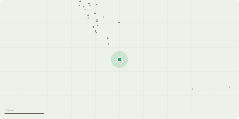
Approximate location
Proposal
Sycamore (T1) - It is recommended to approve the felling of the tree due to significant bark damage caused by grey squirrels (Sciurus carolinensis). Grey squirrels are known to strip bark from trees, particularly during the spring and summer months, to access the nutrient-rich phloem layer beneath. This activity disrupts the tree's vascular system, impairing its ability to transport water and nutrients, which can lead to reduced vitality, increased susceptibility to disease, and ultimately, tree death. In this case, the extent of the damage has compromised the tree's structural integrity, posing a potential safety risk.Additionally, the tree's canopy fails to contribute to the visual amenities that enhance the character and setting of the Conservation Area. A healthy and well-structured canopy is essential for maintaining the aesthetic and ecological value of such areas, providing shade, habitat for wildlife, and visual cohesion with the surrounding landscape. However, this tree's canopy is sparse, uneven, or otherwise detracts from the overall visual harmony of the area, diminishing its contribution to the Conservation Area's distinctive character.
Key dates
- Received 24 Feb 2025
- Validated 24 Feb 2025
- Started 24 Feb 2025
- Decided 28 Mar 2025
Planning history / related applications
No related planning applications have been identified in the current public OGL dataset.
Inside plotEdge
Go beyond the public record
This page is the public OGL record. plotEdge adds the private intelligence layer for this site - open it in the app to unlock:
- Ownership & title Registered owner and title from HM Land Registry.
- Viability & build potential Site scoring and development upside.
- Constraints Flood risk, green belt, conservation areas and designations.
- Approval signal Planning risk and approval-likelihood analysis.
- Comparable applications Decisions on similar nearby sites, side by side.
- Status alerts Get notified the moment this application changes.
Source: public planning application data from Exeter, reused under the Open Government Licence v3.0. View the council source record. Council documents and drawings are not republished on plotEdge.