Exeter
Exeter/25/0065/TPO
2 Two Acre Court Exeter EX2 8YE
- Reference
- Exeter/25/0065/TPO
- Authority
- Exeter
- Application type
- Tree preservation order
- Address
- 2 Two Acre Court Exeter EX2 8YE
- Postcode
- EX2 8YE
- Status
- Permitted
- Decision
- Permitted
- Received
- 3 Feb 2025
- Validated
- 3 Feb 2025
- Started
- 3 Feb 2025
- Decided
- 25 Mar 2025
- Source council
- Exeter
- Council source record
- View public record
- Public data licence
- Open Government Licence v3.0
- Record updated
- 18 Jul 2026
- SEO index generated
- 24 Jul 2026
Location
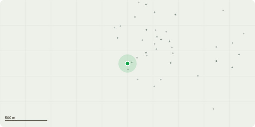
Approximate location
Proposal
T1 - Common Oak tree - Reduce in height by approximately 2-3 metres. Maximum cut size of 4-5 inches.Shorten back laterals by approximately 2 metres. Max cut size of 2-3 inches.Reasons - as provided by Hywel Davies, Consultant and director at Exe Tree Care- The tree has been in decline over a 10 year period. Pruning work has been carried out in this time, predominantly removal of deadwood. As a result the crown has become open and 'leggy' and the remaining stems have been subject to larger wind forces, causing some minor storm damage.- It is reasonable to take weight from the crown at this stage, given that the tree is more likely to fail in future storms. Carrying out remedial work now may prevent significant storm damage. Tears and splits caused by storm damage are more likely to be invaded by pathogens than smaller pruning cuts
Key dates
- Received 3 Feb 2025
- Validated 3 Feb 2025
- Started 3 Feb 2025
- Decided 25 Mar 2025
Planning history / related applications
No related planning applications have been identified in the current public OGL dataset.
Inside plotEdge
Go beyond the public record
This page is the public OGL record. plotEdge adds the private intelligence layer for this site - open it in the app to unlock:
- Ownership & title Registered owner and title from HM Land Registry.
- Viability & build potential Site scoring and development upside.
- Constraints Flood risk, green belt, conservation areas and designations.
- Approval signal Planning risk and approval-likelihood analysis.
- Comparable applications Decisions on similar nearby sites, side by side.
- Status alerts Get notified the moment this application changes.
Source: public planning application data from Exeter, reused under the Open Government Licence v3.0. View the council source record. Council documents and drawings are not republished on plotEdge.