Exeter
Exeter/25/0006/CAT
61 Sylvan Road Exeter EX4 6EY
- Reference
- Exeter/25/0006/CAT
- Authority
- Exeter
- Application type
- CAT
- Address
- 61 Sylvan Road Exeter EX4 6EY
- Postcode
- EX4 6EY
- Status
- Permitted
- Decision
- Permitted
- Received
- 8 Jan 2025
- Validated
- 8 Jan 2025
- Started
- 8 Jan 2025
- Decided
- 7 Feb 2025
- Source council
- Exeter
- Council source record
- View public record
- Public data licence
- Open Government Licence v3.0
- Record updated
- 18 Jul 2026
- SEO index generated
- 24 Jul 2026
Location
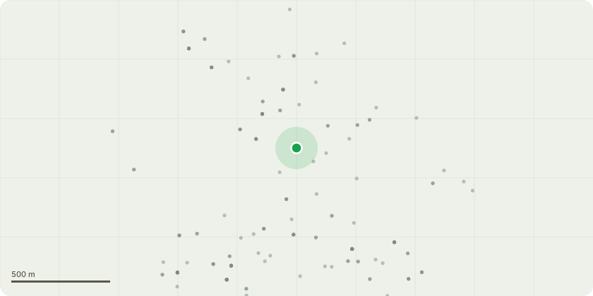
Approximate location
Proposal
G1 - 5x Sycamore Stems - Dismantle & coppice to a height of approximately x1.0 metre from ground level to allow coppice stools to regenerate.T1 - 1x Sycamore Stem (leaning out over the road) - Dismantle & coppice to a height of approximately x1.0 metre from ground level to allow coppice stools to regenerateCut logwood into rings & stack neatly on site at an agreed location.Remove all cut material from site & return to a Devon Tree Services depot for recycling, leaving the area safe, clean & tidy.Garden Areas of 61, Sylvan Road;6x Sycamore Stems - Sectionally dismantle fell & remove to ground level.Cut logwood into rings & stack neatly on site at an agreed location.Remove all cut material from site & return to a Devon Tree Services depot for recycling, leaving the area safe, clean & tidy.Justification; The cohesive group require a holistic approach;Coppicing the sycamores at a controlled height allows the trees to regenerate from their stools, promoting sustainable tree management.Safety Considerations - The leaning sycamore stem overhanging the road is of poor form & has the potential to become a hazard if left in situ; dismantling & coppicing it mitigates the risk.This plan reflects a balance between maintaining the ecological health of the area and ensuring the safety and usability of the surrounding environment.
Key dates
- Received 8 Jan 2025
- Validated 8 Jan 2025
- Started 8 Jan 2025
- Decided 7 Feb 2025
Planning history / related applications
No related planning applications have been identified in the current public OGL dataset.
Inside plotEdge
Go beyond the public record
This page is the public OGL record. plotEdge adds the private intelligence layer for this site - open it in the app to unlock:
- Ownership & title Registered owner and title from HM Land Registry.
- Viability & build potential Site scoring and development upside.
- Constraints Flood risk, green belt, conservation areas and designations.
- Approval signal Planning risk and approval-likelihood analysis.
- Comparable applications Decisions on similar nearby sites, side by side.
- Status alerts Get notified the moment this application changes.
Source: public planning application data from Exeter, reused under the Open Government Licence v3.0. View the council source record. Council documents and drawings are not republished on plotEdge.