Exeter
Exeter/24/1443/CAT
9 Princes Street South Exeter EX2 9AW
- Reference
- Exeter/24/1443/CAT
- Authority
- Exeter
- Application type
- CAT
- Address
- 9 Princes Street South Exeter EX2 9AW
- Postcode
- EX2 9AW
- Status
- Permitted
- Decision
- Permitted
- Received
- 13 Dec 2024
- Validated
- 13 Dec 2024
- Started
- 13 Dec 2024
- Decided
- 17 Jan 2025
- Source council
- Exeter
- Council source record
- View public record
- Public data licence
- Open Government Licence v3.0
- Record updated
- 18 Jul 2026
- SEO index generated
- 24 Jul 2026
Location
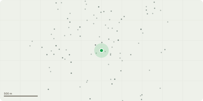
Approximate location
Proposal
T1 Magnolia located in front garden, dismantle and remove including stump grinding, reasons as follows:- i) The tree has outgrown our small urban front gardenii) It is in great danger of damaging the garden wallsiii) To allow more light to reach the front of our neighbour's house at 5, Princes Street South. Even though the tree was pruned severely three years ago, it has made little difference the the lack of light for that property.iv) The tree sheds leaves in abundance, with negligable blossom over the last three years.v) Leaf litter when wet is slippery and therefore dangerous to pedestrians, both on Princes Street South and in the adjacent private drive. It also has caused a large build up of moss on that same drive, causing a sever slip hazard for everyone entering that property.vi) It places in jeopardy the wires from the adjacent telecom pole to properties in the street in case of heavy winds. It also means that Outreach engineers have to use a cherry picker to reach the wires for repairs or upgrades. It causes them great aggravation.
Key dates
- Received 13 Dec 2024
- Validated 13 Dec 2024
- Started 13 Dec 2024
- Decided 17 Jan 2025
Planning history / related applications
No related planning applications have been identified in the current public OGL dataset.
Inside plotEdge
Go beyond the public record
This page is the public OGL record. plotEdge adds the private intelligence layer for this site - open it in the app to unlock:
- Ownership & title Registered owner and title from HM Land Registry.
- Viability & build potential Site scoring and development upside.
- Constraints Flood risk, green belt, conservation areas and designations.
- Approval signal Planning risk and approval-likelihood analysis.
- Comparable applications Decisions on similar nearby sites, side by side.
- Status alerts Get notified the moment this application changes.
Source: public planning application data from Exeter, reused under the Open Government Licence v3.0. View the council source record. Council documents and drawings are not republished on plotEdge.