Exeter
Exeter/24/1329/TPO
1 Matford Road Exeter EX2 4PE
- Reference
- Exeter/24/1329/TPO
- Authority
- Exeter
- Application type
- Tree preservation order
- Address
- 1 Matford Road Exeter EX2 4PE
- Postcode
- EX2 4PE
- Status
- Permitted
- Decision
- Permitted
- Received
- 5 Nov 2024
- Validated
- 5 Nov 2024
- Started
- 5 Nov 2024
- Decided
- 11 Dec 2024
- Source council
- Exeter
- Council source record
- View public record
- Public data licence
- Open Government Licence v3.0
- Record updated
- 18 Jul 2026
- SEO index generated
- 24 Jul 2026
Location
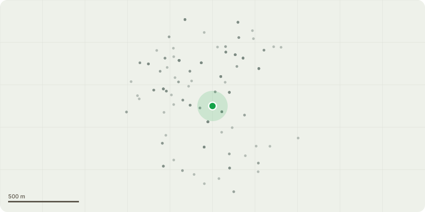
Approximate location
Proposal
T1 - Sycamore. Reduce southern aspect by 2m, maximum diameter of cut (MDC) 40mm. T2 - Sycamore. Reduce lower third of southern canopy by 1.5m, MDC 30mmT4 - Turkey Oak. Reduce height by approximately 6m to suitable growth points, MDC 175-200mm. Reduce north, south & west aspects by up to 3m, MDC 75mm. Reduce large eastern limb by 4-5m, MDC 125mm. Remove major hazardous deadwood. Reason for works:T1 & T2 are causing a nuisance to the neighbouring property 'Oakdene', over-dominance of their outdoor space and multiple branches have broken tiles and guttering of outbuildings. These works are considered arboriculturally appropriate. T4 is a fine mature specimen with a broad spreading canopy. Detailed inspection carried out in July 2021 showed multiple issue around the base of the tree; multiple fungi were present, Ganoderma resinaceum and Kretzschmaria deusta, both of which are known to be an aggressive decay fungi. Resistograph microdrill testing was carried out in 2021 and results show there has been a reduction in structural integrity. See report and drill testing results for further detail. The tree has been re-inspected more recently (October 2024) and conditions are not thought to have improved. Due to the tree's location with 1 Matford Rd, Oakdene and Matford Road a crown reduction is essential to reduce loadings at the base of the tree to reduce the significant risk of failure and to ensure the tree's longevity.
Key dates
- Received 5 Nov 2024
- Validated 5 Nov 2024
- Started 5 Nov 2024
- Decided 11 Dec 2024
Planning history / related applications
No related planning applications have been identified in the current public OGL dataset.
Inside plotEdge
Go beyond the public record
This page is the public OGL record. plotEdge adds the private intelligence layer for this site - open it in the app to unlock:
- Ownership & title Registered owner and title from HM Land Registry.
- Viability & build potential Site scoring and development upside.
- Constraints Flood risk, green belt, conservation areas and designations.
- Approval signal Planning risk and approval-likelihood analysis.
- Comparable applications Decisions on similar nearby sites, side by side.
- Status alerts Get notified the moment this application changes.
Source: public planning application data from Exeter, reused under the Open Government Licence v3.0. View the council source record. Council documents and drawings are not republished on plotEdge.